Mount Lowell
Map
Gallery
Facts and practical information
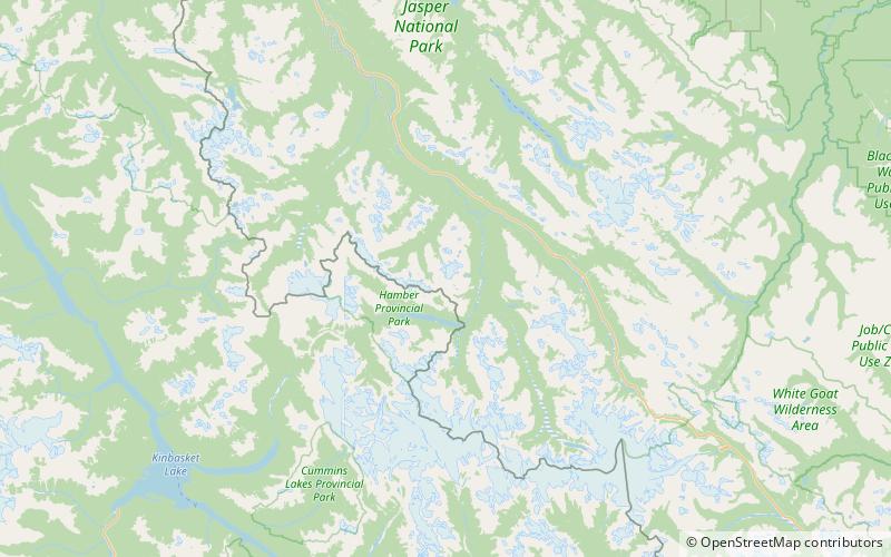
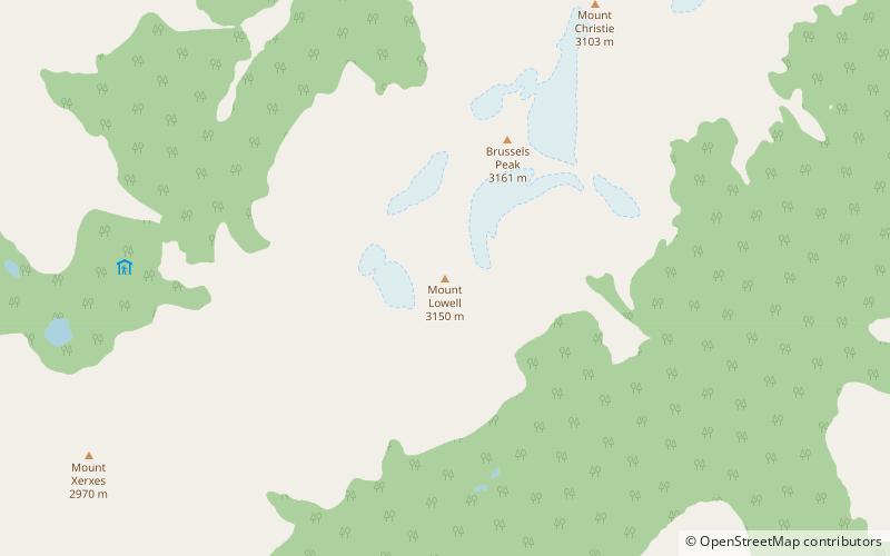
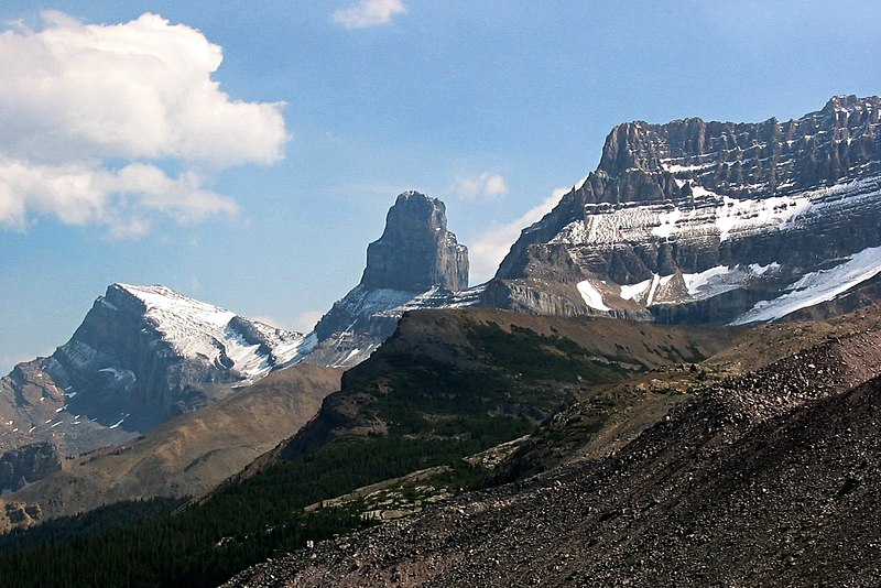
Mount Lowell is a 3,150-metre mountain summit located in the Athabasca River valley of Jasper National Park, in the Canadian Rockies of Alberta, Canada. The name has not been officially adopted yet for this peak. It is situated at the head of Fryatt Creek Valley on the same high ridge as Mount Christie, Xerxes Peak, and Brussels Peak which is the nearest higher peak, 2.0 km to the north. Mount Lowell can be seen from the Icefields Parkway. ()
Coordinates: 52°30'15"N, 117°49'57"W
Location
Alberta
ContactAdd
Social media
Add
Day trips
Mount Lowell – popular in the area (distance from the attraction)
Nearby attractions include: Dragon Peak, Xerxes Peak, Karpathos Peak, Kleodora Peak.


