Catacombs Mountain

Map
Facts and practical information
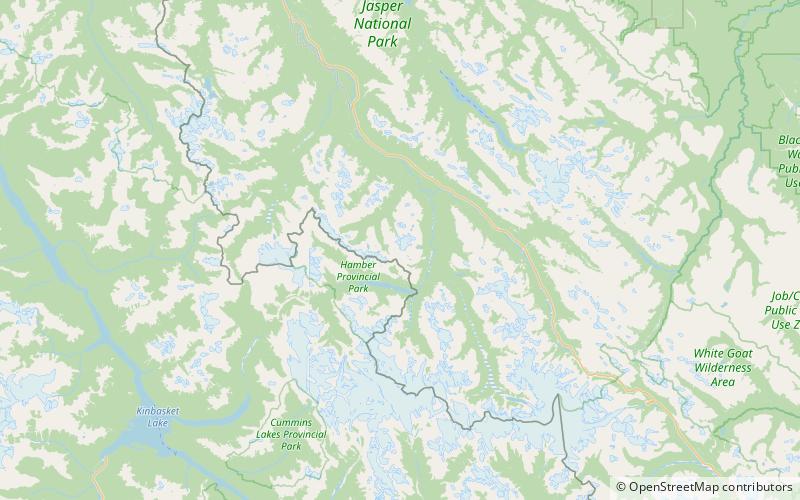
Catacombs Mountain is a 3,290-metre mountain summit located in the Athabasca River valley of Jasper National Park, in the Canadian Rockies of Alberta, Canada. ()
Coordinates: 52°25'48"N, 117°45'10"W
Location
Alberta
ContactAdd
Social media
Add
Day trips
Catacombs Mountain – popular in the area (distance from the attraction)
Nearby attractions include: Dragon Peak, Mount Lowell, Chisel Peak, Fortress Pass.


