Dragon Peak
Map

Map

Facts and practical information
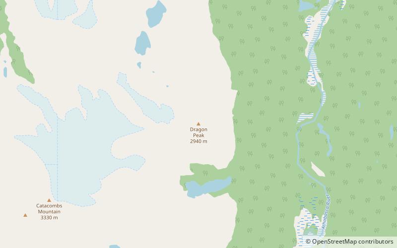
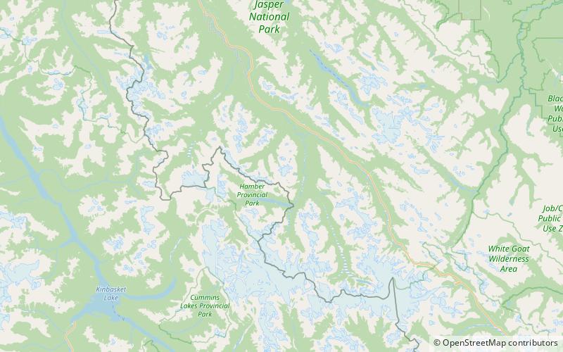
Dragon Peak is a 2,880 metres mountain summit located in the Athabasca River valley of Jasper National Park, in the Canadian Rockies of Alberta, Canada. Situated southeast of Mount Christie and Brussels Peak, Dragon Peak can be seen from the Icefields Parkway. The first ascent of the mountain was made in 1979 by D. Waterman. Dragon Peak was named in 1921 by Arthur O. Wheeler on account of a dragon-shaped rock formation. The mountain's name was officially adopted in 1935 by the Geographical Names Board of Canada. ()
Coordinates: 52°26'46"N, 117°42'4"W
Location
Alberta
ContactAdd
Social media
Add
Day trips
Dragon Peak – popular in the area (distance from the attraction)
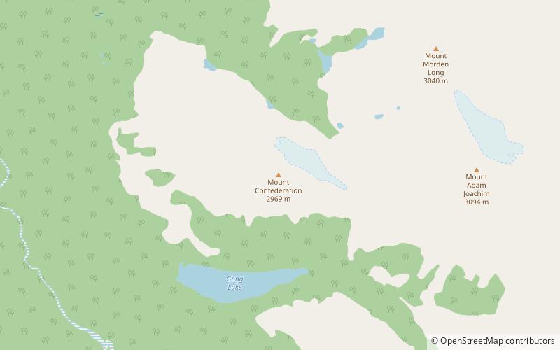
Nearby attractions include: Mount Lowell, Catacombs Mountain, Brussels Peak, Mount Confederation.


