Victoria Park Presbyterian Church, Toronto
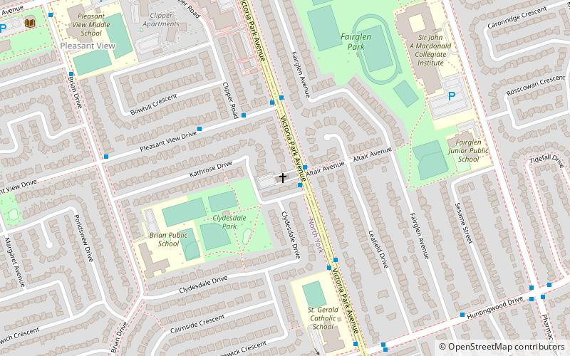
Map
Facts and practical information
The Victoria Park Presbyterian Church is a Presbyterian church in northeast Toronto, Ontario, Canada. It is currently a member of the Associated Presbyterian Churches, a small, mainly Scottish denomination that emphasizes strict adherence to the Westminster Confession of Faith and the regulative principle of worship. ()
Coordinates: 43°47'3"N, 79°19'40"W
Address
North York (Pleasant View)Toronto
ContactAdd
Social media
Add
Getting there by public transportation
Public transportation stops near this location
- Metro
- Bus
 Metro
Metro
- Calculate routeFinch Avenue at Victoria Park Avenue 17 min walk
- Calculate routeCherokee Boulevard 21 min walk
- Calculate routeWarden Avenue at Huntingwood Drive 22 min walk
- Calculate routeDon Mills 29 min walk
Maps SubwayMaps
 Streetcar systemMaps
 PATH
PATH
SubwayMapsStreetcar systemMapsPATHDay trips


Frequently Asked Questions (FAQ)
How to get to Victoria Park Presbyterian Church by public transport?
The nearest stations to Victoria Park Presbyterian Church:
Bus
Metro
Bus
- Finch Avenue at Victoria Park Avenue • Lines: 199A, 39B (17 min walk)
- Cherokee Boulevard • Lines: 39B (21 min walk)
Metro
- Don Mills • Lines: 4 (29 min walk)