Edmonton-Centre, Edmonton
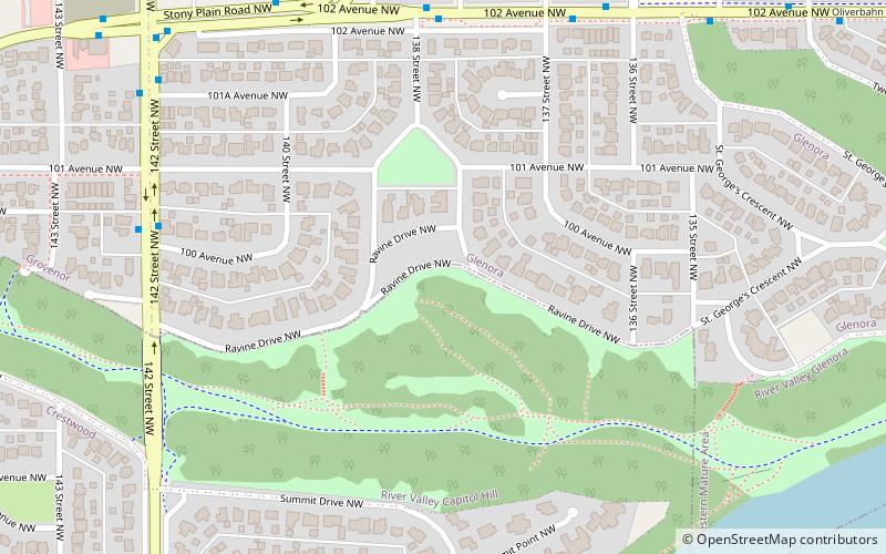
Map
Facts and practical information
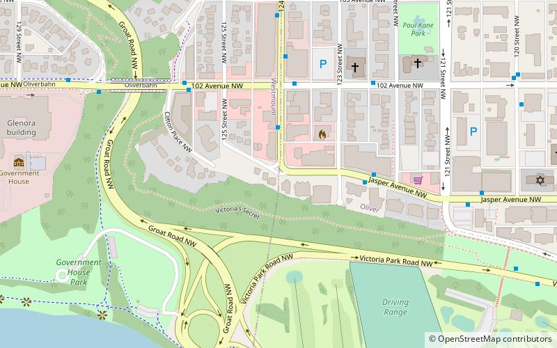
Edmonton-Centre formerly styled Edmonton Centre from 1959 to 1971 was a provincial electoral district in Alberta, Canada, mandated to return a single member to the Legislative Assembly of Alberta using the first past the post method of voting from 1959 to 2019. ()
Coordinates: 53°32'24"N, 113°33'36"W
Address
West Edmonton (River Valley Capitol Hill)Edmonton
ContactAdd
Social media
Add
Day trips
Edmonton-Centre – popular in the area (distance from the attraction)
Nearby attractions include: William Hawrelak Park, 124 Street, Robertson-Wesley United Church, Roxy Theatre.
Frequently Asked Questions (FAQ)
Which popular attractions are close to Edmonton-Centre?
Nearby attractions include Edmonton Centre, Edmonton (1 min walk), Glenora, Edmonton (10 min walk), Grovenor, Edmonton (16 min walk), Groat Bridge, Edmonton (23 min walk).
How to get to Edmonton-Centre by public transport?
The nearest stations to Edmonton-Centre:
Bus
Bus
- 138 Street & 102 Ave • Lines: 2, 2-Owl (6 min walk)
- 137 Street & 102 Ave • Lines: 2, 2-Owl (6 min walk)
