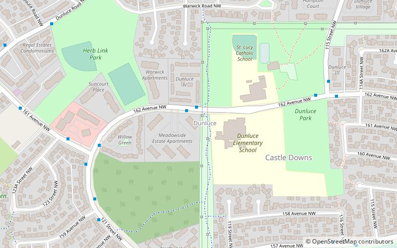
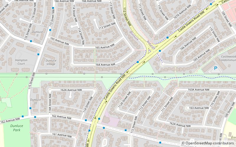
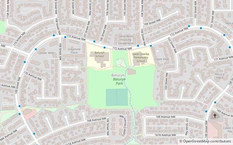
Dunluce, Edmonton
Map
Facts and practical information
Area: 0.86 mi²Coordinates: 53°37'21"N, 113°31'44"W
Address
Northwest Edmonton (Dunluce)Edmonton
ContactAdd
Social media
Add
Getting there by public transportation
Public transportation stops near this location
- Bus
 Bus
Bus
- Calculate routeCastle Downs Bus Station 17 min walk
- Calculate routeCastle Downs Transit Centre 17 min walk
- Calculate routeCastle Downs Bus Terminal 17 min walk
Day trips
Frequently Asked Questions (FAQ)
Which popular attractions are close to Dunluce?
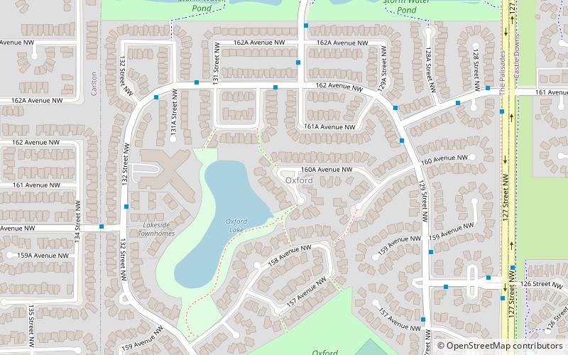
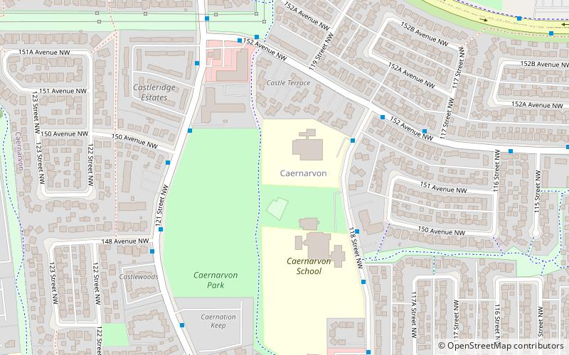
Nearby attractions include Castle Downs, Edmonton (14 min walk), Caernarvon, Edmonton (20 min walk), Oxford, Edmonton (20 min walk), Rapperswill, Edmonton (23 min walk).
How to get to Dunluce by public transport?
The nearest stations to Dunluce:
Bus
Bus
- Castle Downs Bus Station (17 min walk)
- Castle Downs Transit Centre (17 min walk)