Ledbury Park, Toronto
Map

Gallery
Facts and practical information
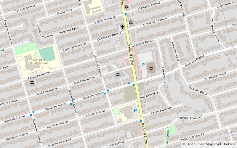
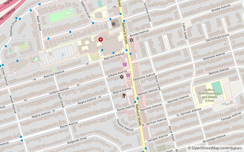
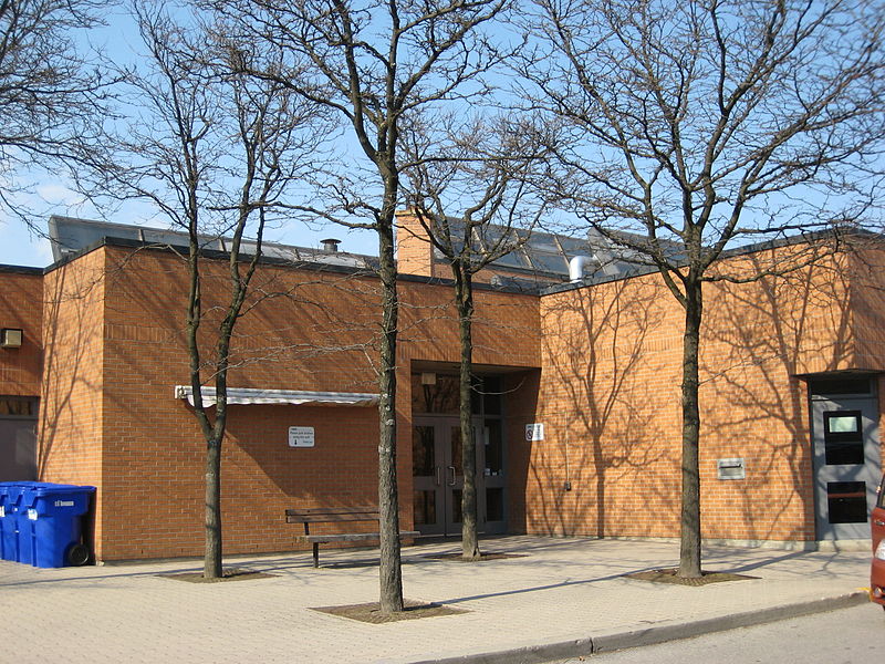
Ledbury Park is a neighbourhood in Toronto, Ontario, Canada. It is located in the southern part of the North York area, just across the border from Midtown Toronto. Its boundaries are Avenue Road to the east, Lawrence Avenue to the south, Bathurst Street to the West, and Wilson Avenue and Highway 401 to the north. ()
Coordinates: 43°43'44"N, 79°25'26"W
Address
Uptown (Nortown)Toronto
ContactAdd
Social media
Add
Day trips
Ledbury Park – popular in the area (distance from the attraction)
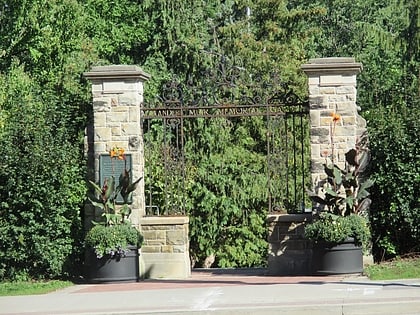
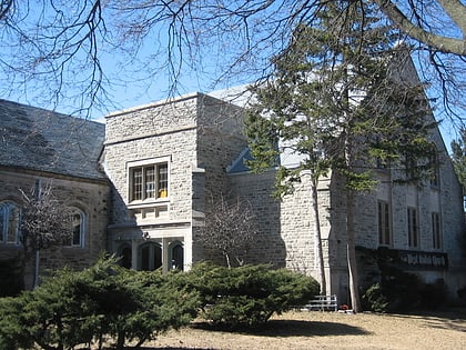
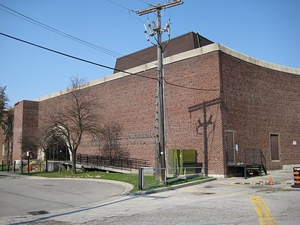
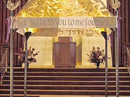
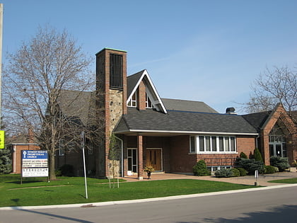
Nearby attractions include: Lawrence Allen Centre, Alexander Muir Memorial Gardens, Congregation Habonim Toronto, Asbury & West United Church.
Frequently Asked Questions (FAQ)
Which popular attractions are close to Ledbury Park?
Nearby attractions include Stashover-Slipia Congregation, Toronto (11 min walk), Asbury & West United Church, Toronto (15 min walk), Adath Israel Congregation, Toronto (20 min walk), Lawrence Manor, Toronto (22 min walk).
How to get to Ledbury Park by public transport?
The nearest stations to Ledbury Park:
Bus
Metro
Bus
- Melrose Avenue • Lines: 400 (11 min walk)
- Ranee Avenue • Lines: 400 (11 min walk)
Metro
- Lawrence • Lines: 1 (28 min walk)
- Yorkdale • Lines: 1 (31 min walk)

 Subway
 Streetcar system
 PATH
PATH