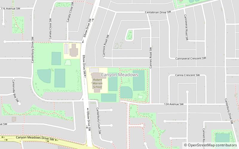
Canyon Meadows, Calgary
Map
Facts and practical information
Canyon Meadows is a residential neighbourhood in the southwest quadrant of Calgary, Alberta, Canada. It is bounded by Anderson Road to the north, Macleod Trail to the east, Fish Creek Provincial Park and Canyon Meadows Drive to the south and 14 Street W to the west. The Canyon Meadows golf course is developed northwest of the neighbourhood. ()
Area: 1.2 mi²Coordinates: 50°56'34"N, 114°4'60"W
Getting there by public transportation
Public transportation stops near this location
- Bus
- Light rail
 Bus
Bus
- Calculate routeCanyon Meadows 20 min walk
- Calculate routeAnderson 24 min walk
- Calculate routeCanyon Meadows 21 min walk
- Calculate routeAnderson 23 min walk
Day trips


Frequently Asked Questions (FAQ)
How to get to Canyon Meadows by public transport?
The nearest stations to Canyon Meadows:
Light rail
Bus
Light rail
- Canyon Meadows • Lines: 201 (20 min walk)
- Anderson • Lines: 201 (24 min walk)
Bus
- Canyon Meadows (21 min walk)
- Anderson (23 min walk)