Shawnee Slopes, Calgary

Map
Facts and practical information
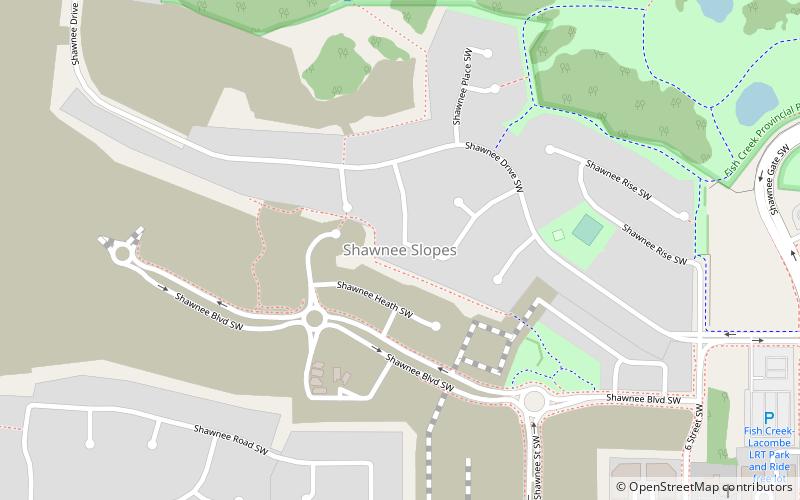
Shawnee Slopes is a residential neighbourhood in the southwest quadrant of Calgary, Alberta. It is bounded to the south by James McKevitt Road, to the east by Macleod Trail, to the north by Fish Creek Provincial Park and to the west by Evergreen Street SW. ()
Area: 0.5 mi²Coordinates: 50°55'31"N, 114°5'2"W
Day trips
Shawnee Slopes – popular in the area (distance from the attraction)
Nearby attractions include: Spruce Meadows, Trico Centre for Family Wellness, Southcentre Mall, Southland Leisure Centre.
Frequently Asked Questions (FAQ)
Which popular attractions are close to Shawnee Slopes?
Nearby attractions include St. Patrick's Roman Catholic Church, Calgary (16 min walk), Hot Mama Health & Fitness - Calgary / Macleod SW, Calgary (17 min walk).
How to get to Shawnee Slopes by public transport?
The nearest stations to Shawnee Slopes:
Bus
Light rail
Bus
- Fish Creek - Lacombe (11 min walk)
- Canyon Meadows (28 min walk)
Light rail
- Fish Creek–Lacombe • Lines: 201 (13 min walk)
- Canyon Meadows • Lines: 201 (24 min walk)


