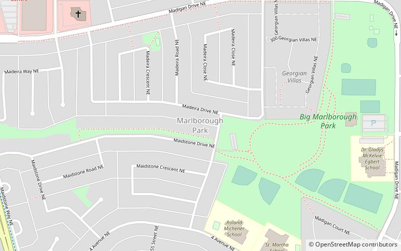
Marlborough Park, Calgary
Map
Facts and practical information
Marlborough Park is a residential neighbourhood in the northeast quadrant of Calgary, Alberta. It is bounded by 68 Street E to the east, 52 Street E to the west, Trans-Canada Highway to the north and Memorial Drive to the south. The homonymous park is located at the center of the community. ()
Area: 0.97 mi²Coordinates: 51°3'36"N, 113°56'56"W
Getting there by public transportation
Public transportation stops near this location
- Bus
 Bus
Bus
- Calculate routePenbrooke 17 min walk
Day trips
Frequently Asked Questions (FAQ)
Which popular attractions are close to Marlborough Park?
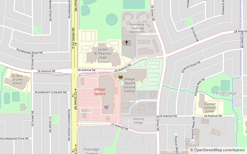
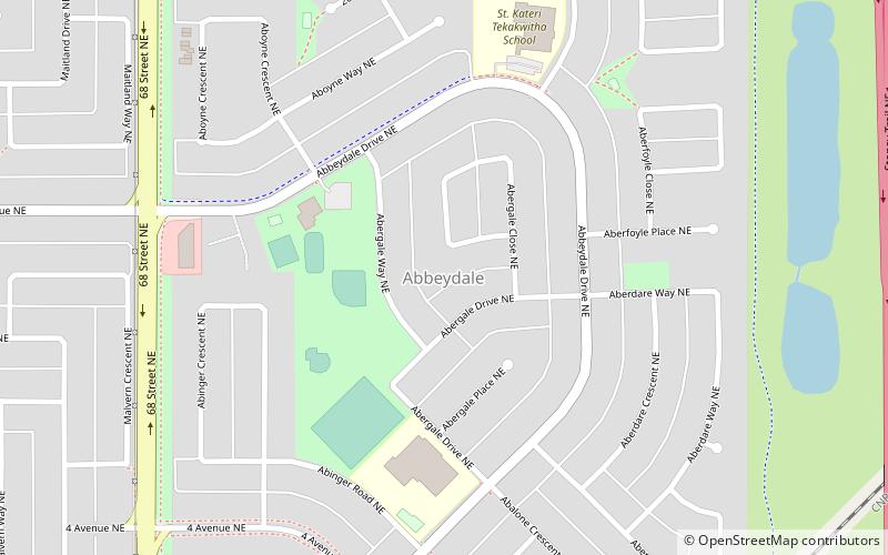
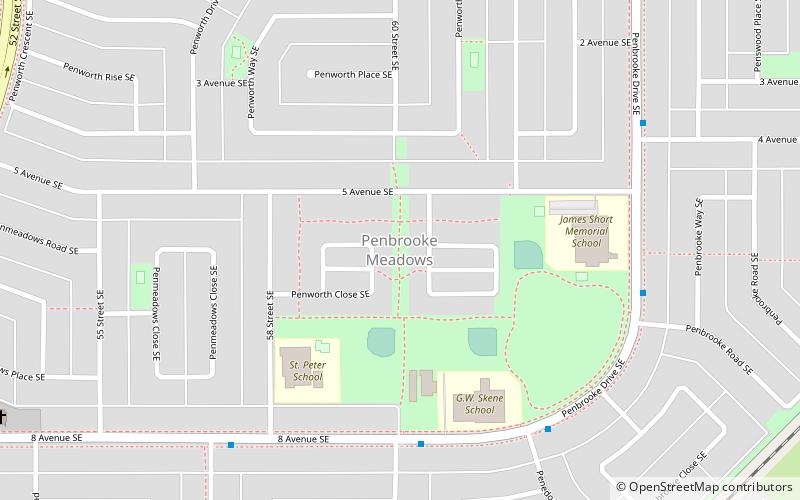
Nearby attractions include Penbrooke Meadows, Calgary (22 min walk), Abbeydale, Calgary (22 min walk).
How to get to Marlborough Park by public transport?
The nearest stations to Marlborough Park:
Bus
Bus
- Penbrooke (17 min walk)