Sun Rivers, Kamloops
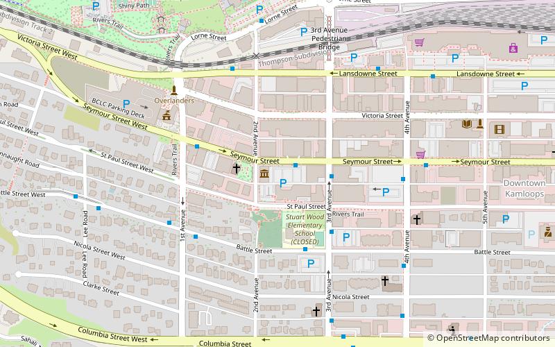
Map
Map

Facts and practical information
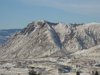
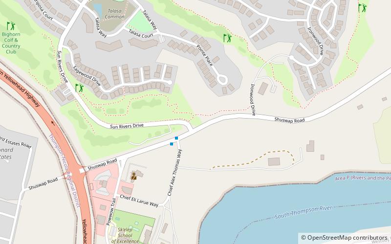
Sun Rivers is a community located on the northeastern side of Kamloops, BC on the Kamloops Indian Band Reserve against Mount Peter and Mount Paul. It is located east on Highway 5 near the junction with the Trans Canada Highway. It is developed around the Sun Rivers golf course. ()
Coordinates: 50°41'1"N, 120°17'38"W
Address
Kamloops Indian Reserve No. 1Kamloops
ContactAdd
Social media
Add
Day trips
Sun Rivers – popular in the area (distance from the attraction)
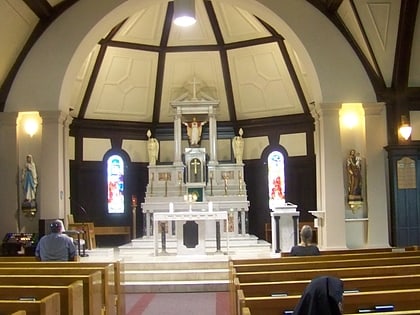
Nearby attractions include: Riverside Park, TCC gym, Kamloops Museum and Archives, Sacred Heart Cathedral.
Frequently Asked Questions (FAQ)
Which popular attractions are close to Sun Rivers?
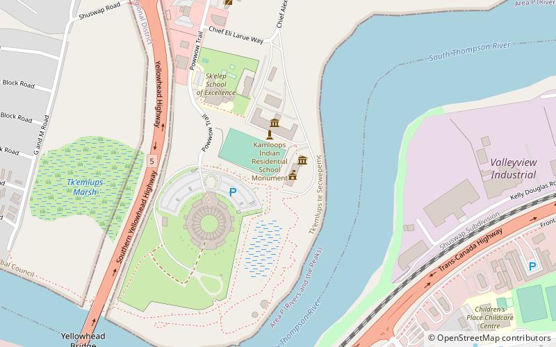
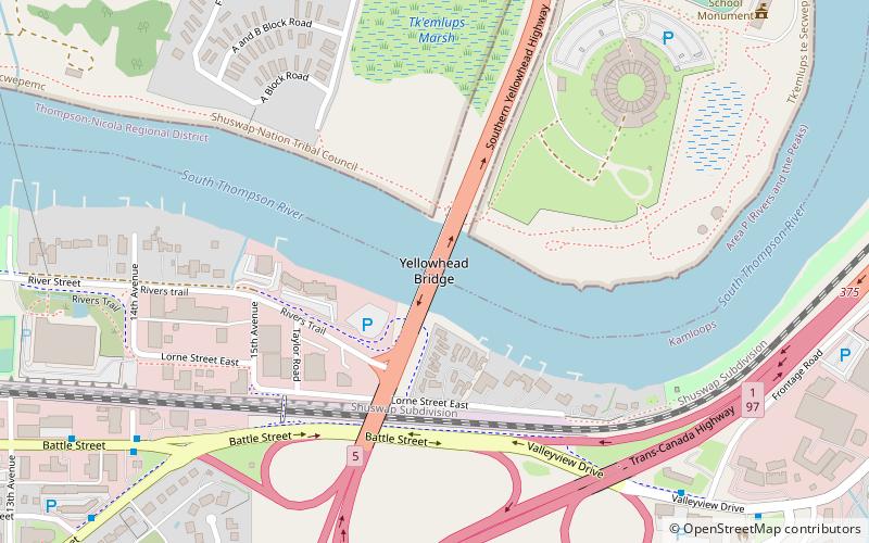
Nearby attractions include Secwepemc Museum and Heritage Park, Kamloops (9 min walk), Yellowhead Bridge, Kamloops (17 min walk).
