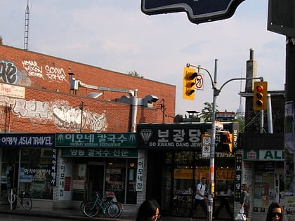
Markham Street, Toronto
Map
Facts and practical information
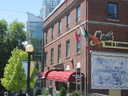
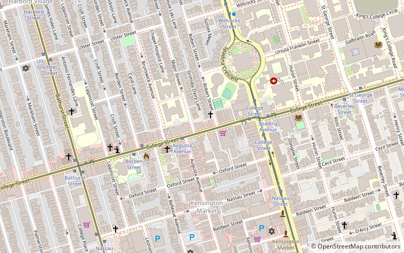
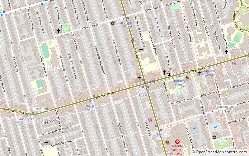
Markham Street is a north–south residential street located in the city of Toronto, Ontario, Canada, one block west of Bathurst Street. Its northern end starts in the Seaton Village neighbourhood and it passes through Mirvish Village, Palmerston–Little Italy, Trinity–Bellwoods and ends at West Queen Street West at its south end. ()
Coordinates: 43°39'24"N, 79°24'33"W
Address
West End (Palmerston)Toronto
ContactAdd
Social media
Add
Day trips
Markham Street – popular in the area (distance from the attraction)
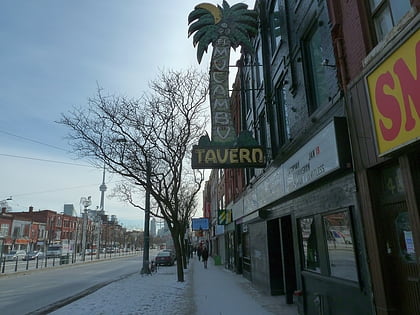
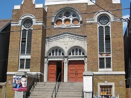
Nearby attractions include: Mod Club Theatre, El Mocambo, Little Italy, Anshei Minsk.
Frequently Asked Questions (FAQ)
Which popular attractions are close to Markham Street?
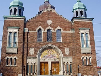
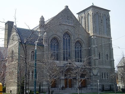
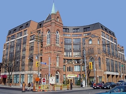
Nearby attractions include College Street United Church, Toronto (2 min walk), Palmerston Boulevard, Toronto (2 min walk), College Street Baptist Church, Toronto (3 min walk), Shaarei Tzedec, Toronto (5 min walk).
How to get to Markham Street by public transport?
The nearest stations to Markham Street:
Tram
Bus
Metro
Tram
- College Street • Lines: 511 (2 min walk)
- Bathurst Street • Lines: 306, 506 (3 min walk)
Bus
- Bathurst Street • Lines: 94A (9 min walk)
- Manning Avenue • Lines: 94A (10 min walk)
Metro
- Bathurst • Lines: 2 (17 min walk)
- Christie • Lines: 2 (18 min walk)
 Subway
 Streetcar system
 PATH
PATH