Humbermede, Toronto
Map
Gallery
Facts and practical information
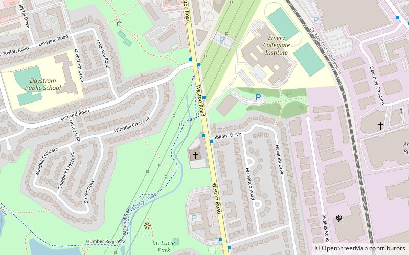
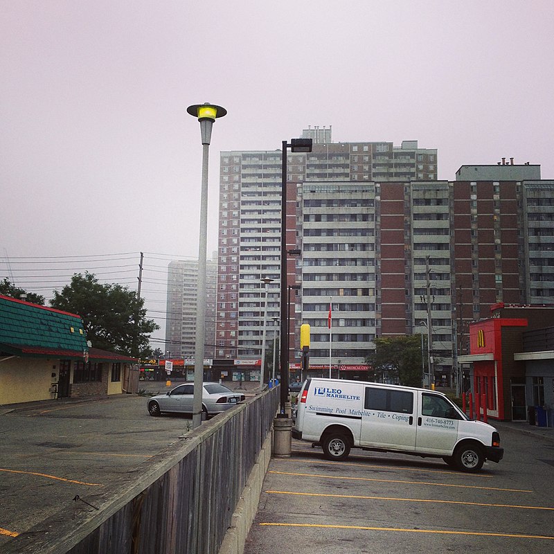
Humbermede, often called Emery, is a neighbourhood of Toronto, Ontario, Canada. Humbermede, like many of the "Humber" neighbourhoods in the city, gets its name from the Humber River. It is bounded on the west by the Humber River, on the north by Finch Avenue West, on the east by the Highway 400 and on the south by Sheppard Avenue West. ()
Coordinates: 43°44'47"N, 79°32'28"W
Address
North York (Humbermede)Toronto
ContactAdd
Social media
Add
Day trips
Humbermede – popular in the area (distance from the attraction)
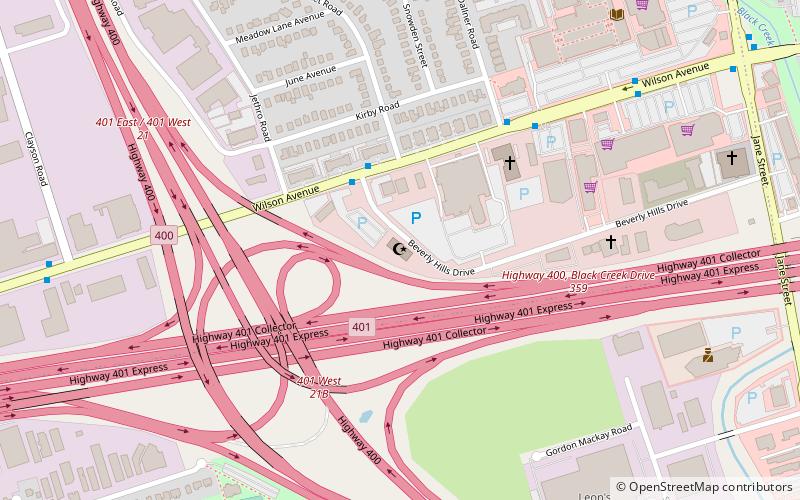
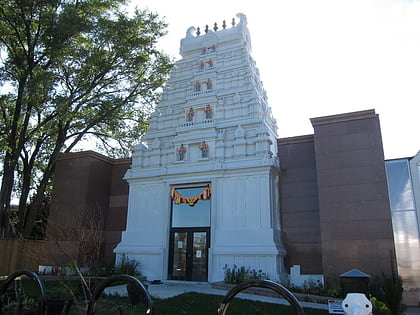
Nearby attractions include: Black Creek Pioneer Village, Aviva Centre, Toronto and Region Islamic Congregation, Sringeri Temple of Toronto.
Frequently Asked Questions (FAQ)
How to get to Humbermede by public transport?
The nearest stations to Humbermede:
Bus
Bus
- Habitant Drive • Lines: 165 (1 min walk)
- 3395 Weston Road • Lines: 165 (2 min walk)

 Subway
 Streetcar system
 PATH
PATH

