Pine Point Park, Toronto
Map
Gallery
Facts and practical information
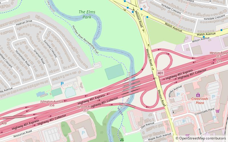
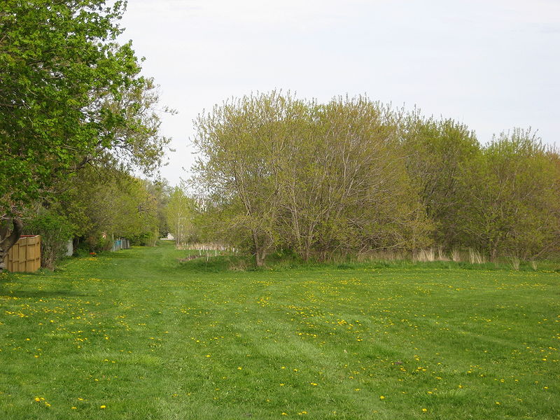
Pine Point Park is a park in Toronto, Ontario, Canada, located on the east end junction of Allenby Avenue and Hadrian Drive, near the intersection of Highway 401 and Islington Avenue. The park itself is bordered by Albion Road to the west, Highway 401 to the south, and Humber River to the east. ()
Elevation: 394 ft a.s.l.Coordinates: 43°42'50"N, 79°32'21"W
Address
Rexdale (The Elms)Toronto
ContactAdd
Social media
Add
Day trips
Pine Point Park – popular in the area (distance from the attraction)
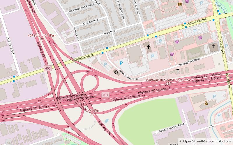
Nearby attractions include: Central United Church, Toronto and Region Islamic Congregation, Humber Heights-Westmount, Pelmo Park-Humberlea.
Frequently Asked Questions (FAQ)
How to get to Pine Point Park by public transport?
The nearest stations to Pine Point Park:
Bus
Bus
- Weston Road East Side • Lines: 165, 96B (7 min walk)
- Weston Road West Side • Lines: 96B (7 min walk)

 Subway
 Streetcar system
 PATH
PATH
