Alderwood, Toronto
Map

Gallery

Facts and practical information
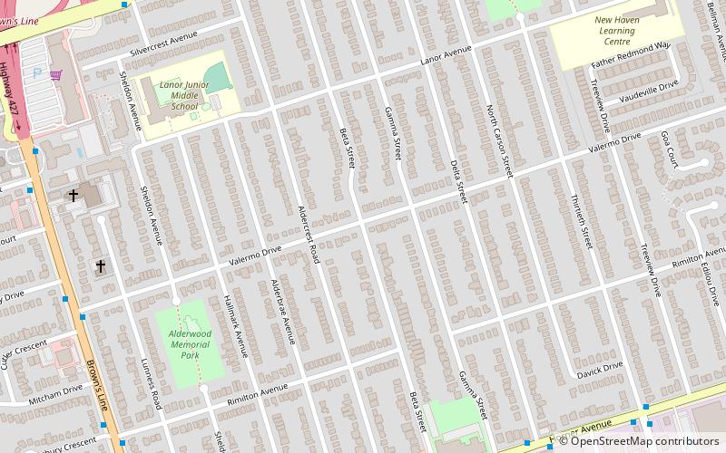
Alderwood is a neighbourhood in the city of Toronto, Ontario, Canada. It is in the western section of Toronto, within the district of Etobicoke. It is bounded by the Etobicoke Creek to the west, the Gardiner Expressway to the north, the CPR railway to the east and the CNR railway to the south. ()
Coordinates: 43°36'27"N, 79°32'25"W
Address
The Lakeshore (Alderwood)Toronto
ContactAdd
Social media
Add
Day trips
Alderwood – popular in the area (distance from the attraction)
Nearby attractions include: Dixie Outlet Mall, Toronto Golf Club, Sherway Gardens, Cloverdale Mall.
Frequently Asked Questions (FAQ)
How to get to Alderwood by public transport?
The nearest stations to Alderwood:
Tram
Train
Tram
- Long Branch Avenue • Lines: 501, 501;301 (25 min walk)
- Thirty Seventh Street • Lines: 501, 501;301 (25 min walk)
Train
- Long Branch (28 min walk)

 Subway
 Streetcar system
 PATH
PATH


