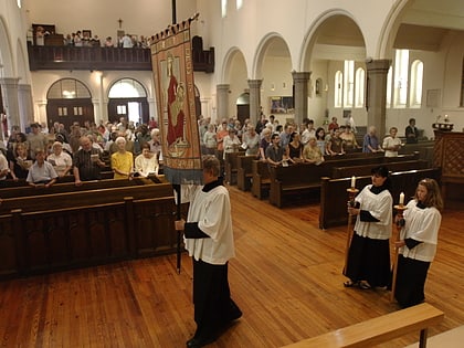
Dovercourt Park, Toronto
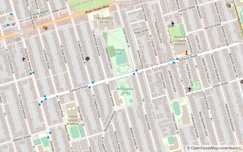
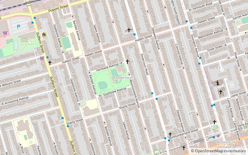
Map
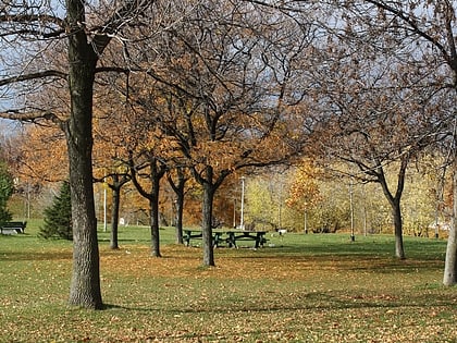
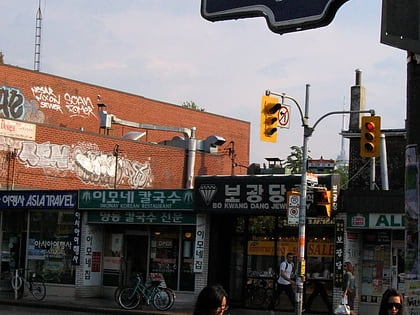
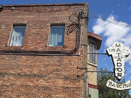
Gallery

Facts and practical information
Dovercourt Park or Dovercourt Village is a neighbourhood in Toronto, Ontario, Canada situated north of Bloor Street between Christie Street to the east, the CPR railway lines to the north, and Dufferin Street to the west. ()
Coordinates: 43°39'55"N, 79°25'57"W
Address
Midtown (Dovercourt Park)Toronto
ContactAdd
Social media
Add
Day trips
Dovercourt Park – popular in the area (distance from the attraction)
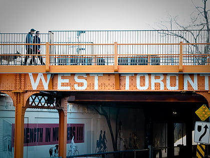
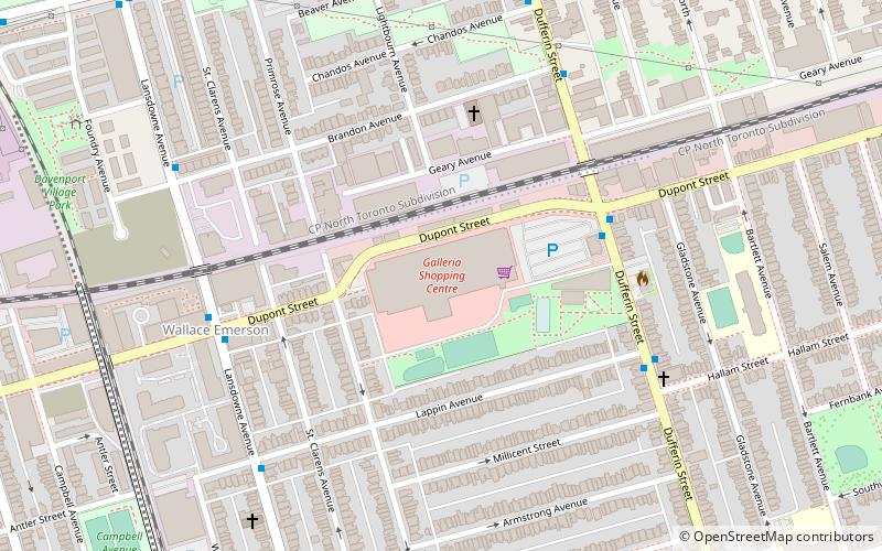
Nearby attractions include: Mod Club Theatre, Dufferin Mall, West Toronto Railpath, Galleria Shopping Centre.
Frequently Asked Questions (FAQ)
Which popular attractions are close to Dovercourt Park?
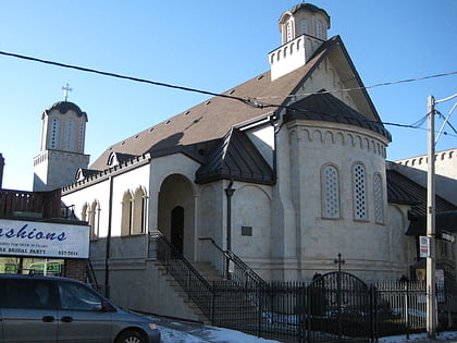
Nearby attractions include Saint Michael the Archangel Serbian Orthodox Church, Toronto (9 min walk), Bloor/Gladstone Library, Toronto (10 min walk), Bloorcourt Village, Toronto (11 min walk), Wallace Emerson, Toronto (12 min walk).
How to get to Dovercourt Park by public transport?
The nearest stations to Dovercourt Park:
Bus
Metro
Tram
Train
Bus
- Shanly Street • Lines: 161, 402 (7 min walk)
- Northumberland Street • Lines: 161 (7 min walk)
Metro
- Ossington • Lines: 2 (10 min walk)
- Dufferin • Lines: 2 (10 min walk)
Tram
- Rusholme Park • Lines: 306, 506 (23 min walk)
- Dufferin Street • Lines: 306, 506 (23 min walk)
Train
- Bloor (27 min walk)

 Subway
 Streetcar system
 PATH
PATH