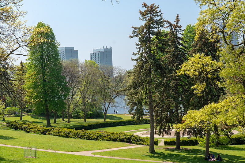
West Toronto Railpath, Toronto

Gallery (1)
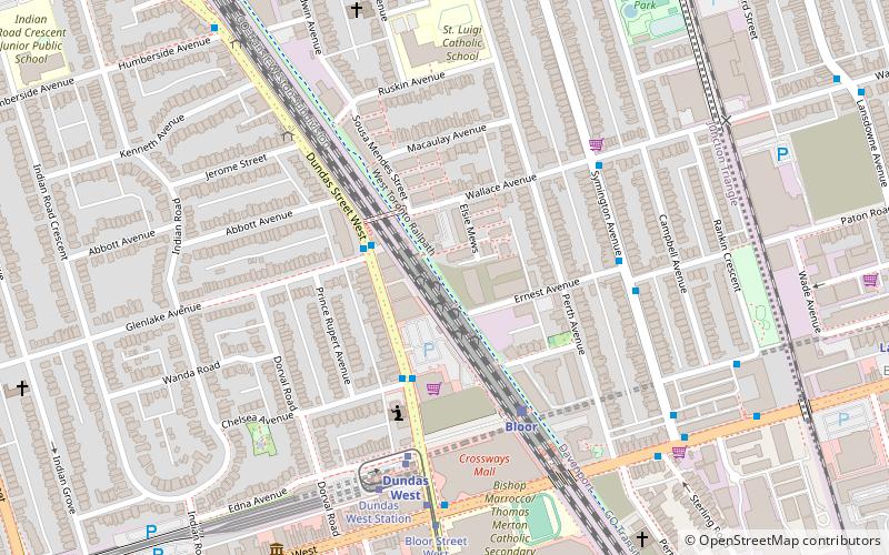
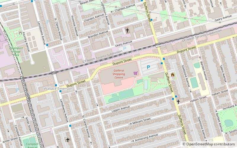
Map
Map
Facts and practical information
The West Toronto Railpath is a multi-use trail in Toronto, Ontario, Canada, running from The Junction neighbourhood toward downtown Toronto. The Railpath was developed by the City of Toronto for bicycle and pedestrian use. Like Toronto's Beltline and Don Mills trails, it is an urban rail-to-trail project. Phase 1 of the path opened in 2009. Phase 2, an extension south from Dundas Street West to Liberty Village, was approved and proceeding with detailed design as of September 2020 with funding of $2.9 million jointly from the City and the Government of Canada. Construction of Phase 2 is expected to begin in 2021 or 2022. ()
Elevation: 371 ft a.s.l.Coordinates: 43°39'35"N, 79°27'8"W
Address
West End (Junction Triangle)Toronto
ContactAdd
Social media
Add
Getting there by public transportation
Public transportation stops near this location
- Metro
- Bus
- Tram
- Train
 Metro
Metro
- Calculate routeBloor 4 min walk
- Calculate routeErnest Avenue 5 min walk
- Calculate routeWallace Avenue 5 min walk
- Calculate routePaton Road 5 min walk
- Calculate routeBloor Street West 7 min walk
- Calculate routeDundas West 5 min walk
- Calculate routeKeele 12 min walk
- Calculate routeLansdowne 13 min walk
- Calculate routeDufferin 22 min walk
- Calculate routeStop 5 min walk
- Calculate routeDundas West Station 6 min walk
- Calculate routeBloor Street West 6 min walk
- Calculate routeRoncesvalles Avenue 11 min walk
Maps SubwayMaps
 Streetcar systemMaps
 PATH
PATH
SubwayMapsStreetcar systemMapsPATHDay trips


Frequently Asked Questions (FAQ)
Which popular attractions are close to West Toronto Railpath?
Nearby attractions include Junction Triangle, Toronto (4 min walk), Church of St. Martin-in-the-Fields, Toronto (11 min walk), Jami Mosque, Toronto (12 min walk), Bloordale Village, Toronto (13 min walk).
How to get to West Toronto Railpath by public transport?
The nearest stations to West Toronto Railpath:
Train
Bus
Metro
Tram
Train
- Bloor (4 min walk)
Bus
- Ernest Avenue • Lines: 402 (5 min walk)
- Wallace Avenue • Lines: 402 (5 min walk)
Metro
- Dundas West • Lines: 2 (5 min walk)
- Keele • Lines: 2 (12 min walk)
Tram
- Stop • Lines: 306 (5 min walk)
- Dundas West Station • Lines: 504A, 505 (6 min walk)