Manordale, Ottawa
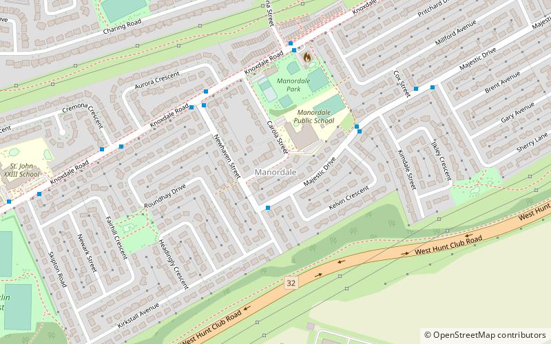
Map
Facts and practical information
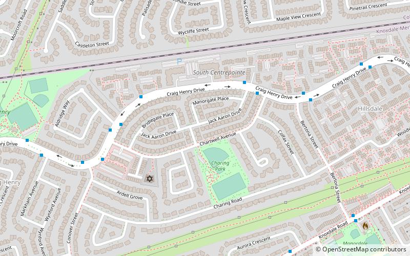
Manordale is a neighbourhood in Knoxdale-Merivale Ward in the west end of Ottawa, Ontario, Canada. It is located in the former City of Nepean. It is bounded on the north and west by Knoxdale Road, east by Woodroffe Avenue, and south by Hunt Club Road. ()
Coordinates: 45°19'41"N, 75°45'39"W
Address
ManordaleOttawa
ContactAdd
Social media
Add
Day trips
Manordale – popular in the area (distance from the attraction)
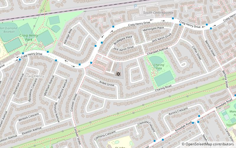
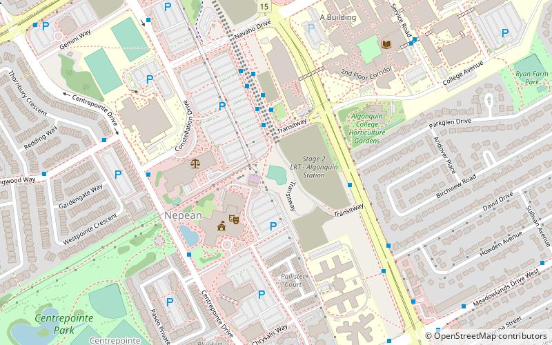
Nearby attractions include: Beit Tikvah of Ottawa, Superdome at Ben Franklin Park, Centrepointe Theatre, Ben Franklin Place.
Frequently Asked Questions (FAQ)
Which popular attractions are close to Manordale?
Nearby attractions include Craig Henry, Ottawa (12 min walk), Beit Tikvah of Ottawa, Ottawa (13 min walk).
How to get to Manordale by public transport?
The nearest stations to Manordale:
Bus
Bus
- Majestic / Newhaven • Lines: 284, 82 (2 min walk)
- Newhaven / Knoxdale • Lines: 284, 82 (4 min walk)
