Nepean, Ottawa
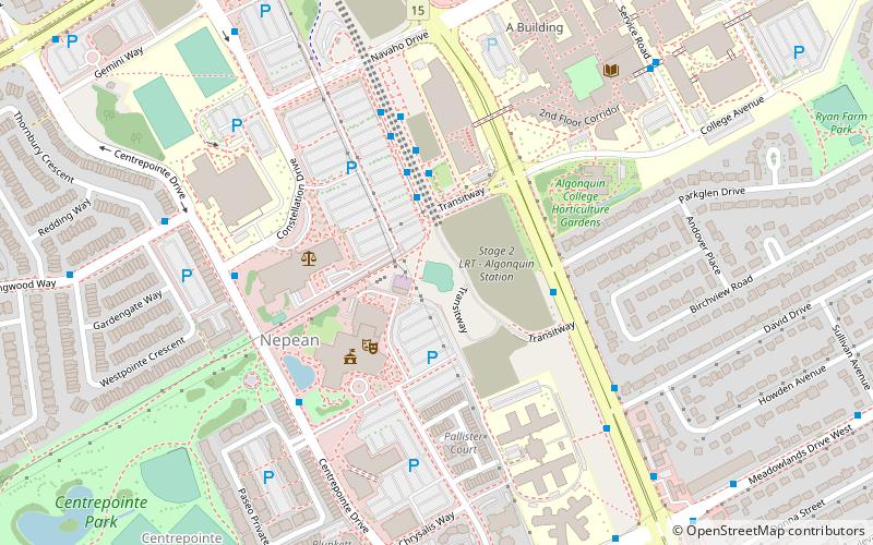
Map
Map

Facts and practical information
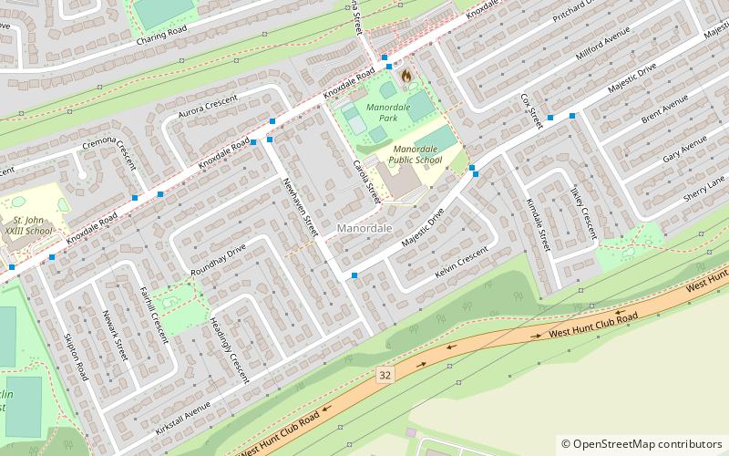
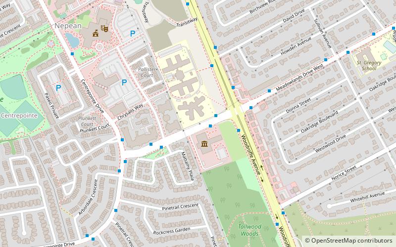
Nepean is a part of Ottawa, Ontario, located west of Ottawa's inner core. It was an independent city until amalgamated with the Regional Municipality of Ottawa–Carleton in 2001 to become the new city of Ottawa. However, the name "Nepean" continues in common usage in reference to the area. The population of Nepean is about 170,544 people. ()
Address
CentrepointeOttawa
ContactAdd
Social media
Add
Day trips
Nepean – popular in the area (distance from the attraction)
Nearby attractions include: Nepean Museum, Beit Tikvah of Ottawa, Centrepointe Theatre, Ben Franklin Place.
Frequently Asked Questions (FAQ)
Which popular attractions are close to Nepean?
Nearby attractions include Ben Franklin Place, Ottawa (8 min walk), Centrepointe Theatre, Ottawa (8 min walk), Legacy Skatepark, Ottawa (8 min walk), Craig Henry, Ottawa (19 min walk).
How to get to Nepean by public transport?
The nearest stations to Nepean:
Bus
Bus
- Tallwood / Woodroffe • Lines: 84 (1 min walk)
- Woodroffe / Tallwood • Lines: 187, 284, 305, 73, 74, 75, 82, 83 (3 min walk)


