Mount Dungarvan, Waterton Lakes National Park

Gallery (2)
Map
Map
Gallery
Facts and practical information
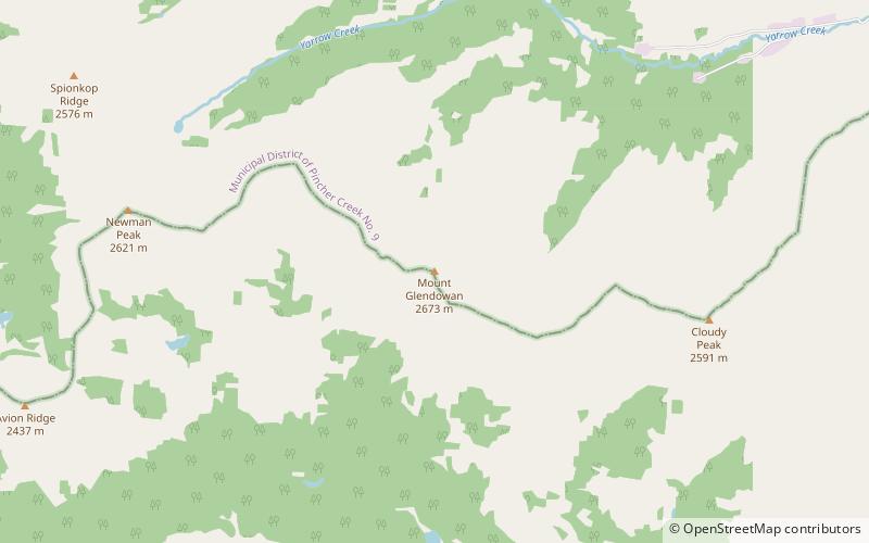
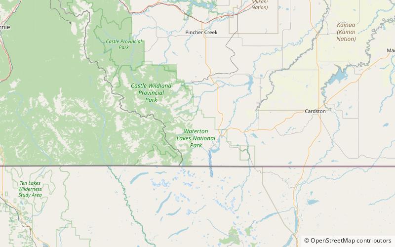
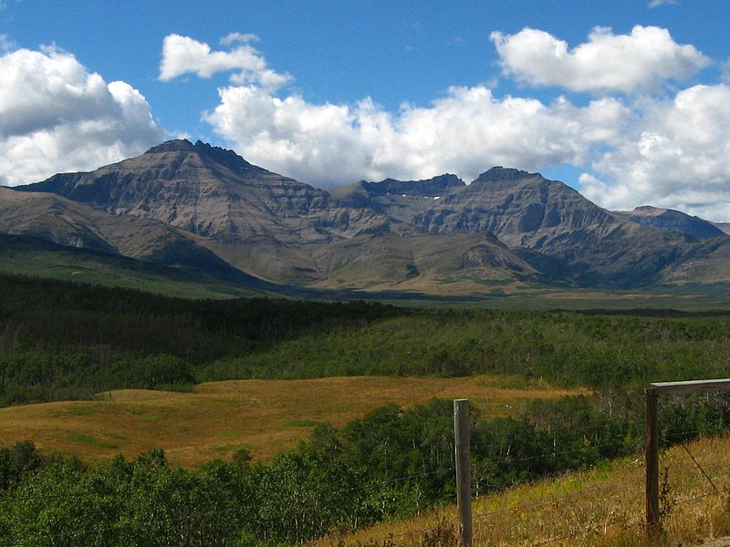
Mount Dungarvan is a 2,575-metre mountain summit located in Waterton Lakes National Park, in the Canadian Rockies of Alberta, Canada. Its nearest higher peak is Cloudy Peak, 2.8 km to the west. ()
Elevation: 8392 ft a.s.l.Coordinates: 49°9'18"N, 113°58'18"W
Address
Waterton Lakes National Park
ContactAdd
Social media
Add
Day trips