Reggae Lane, Toronto
Map
Map

Facts and practical information
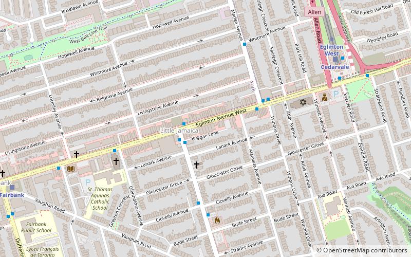
Reggae Lane is a roadway in Toronto, Ontario, Canada, that runs east from Oakwood Avenue, behind a strip of buildings on the south side of Eglinton Avenue in the Little Jamaica ethnic enclave. For most of its history it had no official name, but the imminent arrival of Oakwood LRT station helped trigger its 2015 official naming. ()
Coordinates: 43°41'50"N, 79°26'30"W
Address
York (Oakwood-Vaughn)Toronto
ContactAdd
Social media
Add
Day trips
Reggae Lane – popular in the area (distance from the attraction)
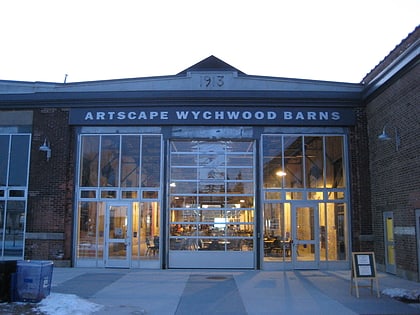
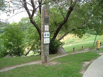
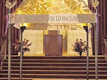
Nearby attractions include: Wychwood Barns, Cedarvale Park, Congregation Habonim Toronto, Fairbank Memorial Park.
Frequently Asked Questions (FAQ)
Which popular attractions are close to Reggae Lane?
Nearby attractions include Oakwood Village, Toronto (9 min walk), Fairbank, Toronto (12 min walk), Fairbank Memorial Park, Toronto (13 min walk), Little Jamaica, Toronto (19 min walk).
How to get to Reggae Lane by public transport?
The nearest stations to Reggae Lane:
Bus
Metro
Tram
Bus
- Eglinton Avenue West • Lines: 63A (2 min walk)
- Oakwood Avenue • Lines: 363, 63 (2 min walk)
Metro
- Eglinton West • Lines: 1 (9 min walk)
- Glencairn • Lines: 1 (21 min walk)
Tram
- Winona • Lines: 512 (33 min walk)
- Arlington Avenue • Lines: 512 (33 min walk)

 Subway
 Streetcar system
 PATH
PATH