Fairbank, Toronto
Map

Gallery

Facts and practical information
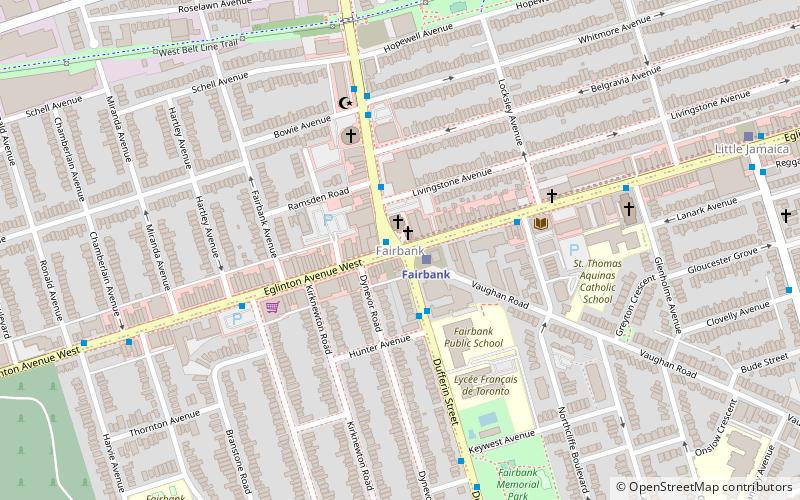
Fairbank is a neighbourhood in Toronto, Ontario, Canada. The area covers a large central portion of the former City of York, Ontario centred on the intersection of Dufferin Street and Eglinton Avenue West. Fairbank includes the neighbourhoods of Briar Hill–Belgravia and Caledonia–Fairbank. The western border is the CNR lines. The northern and southern borders are the former borders of the City of York and the eastern border is Dufferin Street. ()
Coordinates: 43°41'44"N, 79°27'1"W
Address
York (Oakwood-Vaughn)Toronto
ContactAdd
Social media
Add
Day trips
Fairbank – popular in the area (distance from the attraction)
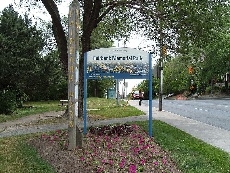
Nearby attractions include: Congregation Habonim Toronto, Fairbank Memorial Park, Shaarei Shomayim, Reggae Lane.
Frequently Asked Questions (FAQ)
Which popular attractions are close to Fairbank?
Nearby attractions include Little Jamaica, Toronto (7 min walk), Fairbank Memorial Park, Toronto (8 min walk), Reggae Lane, Toronto (12 min walk), Oakwood Village, Toronto (14 min walk).
How to get to Fairbank by public transport?
The nearest stations to Fairbank:
Bus
Metro
Tram
Bus
- Glenholme Avenue • Lines: 363 (7 min walk)
- Oakwood Avenue • Lines: 363, 63 (10 min walk)
Metro
- Eglinton West • Lines: 1 (20 min walk)
- Glencairn • Lines: 1 (26 min walk)
Tram
- Glenholme • Lines: 512 (34 min walk)
- Oakwood • Lines: 512 (35 min walk)

 Subway
 Streetcar system
 PATH
PATH


