Edmonton Strathcona, Edmonton
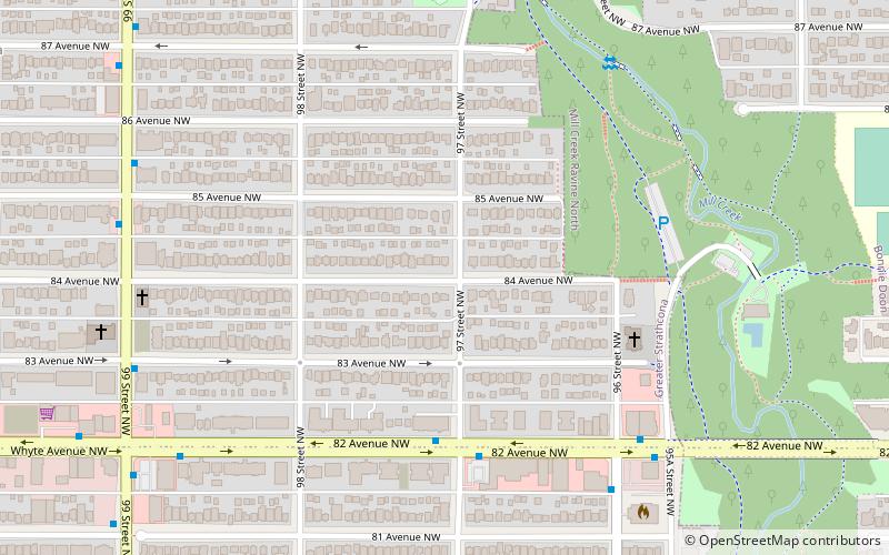
Map
Facts and practical information
Edmonton Strathcona is a federal electoral district in Alberta, Canada, that has been represented in the House of Commons of Canada since 1953. It spans the south central part of the city of Edmonton. Edmonton Strathcona was the only federal riding in Alberta not held by the Conservative Party between 2008 and 2015 and 2019 to 2021. ()
Coordinates: 53°31'12"N, 113°28'48"W
Address
South Central Edmonton (Strathcona)Edmonton
ContactAdd
Social media
Add
Day trips
Edmonton Strathcona – popular in the area (distance from the attraction)
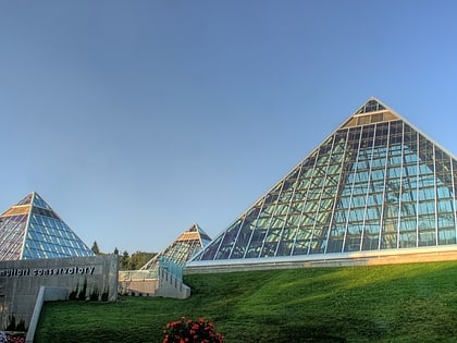
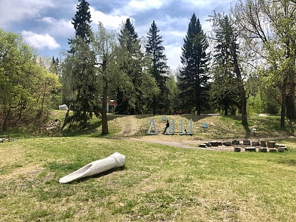
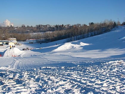
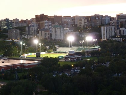
Nearby attractions include: Muttart Conservatory, Indigenous Art Park, Edmonton Ski Club, Princess Theatre.
Frequently Asked Questions (FAQ)
Which popular attractions are close to Edmonton Strathcona?
Nearby attractions include Strathcona, Edmonton (11 min walk), Ritchie, Edmonton (13 min walk), Edmonton Radial Railway Society, Edmonton (17 min walk), Edmonton High Level Streetcar, Edmonton (17 min walk).
How to get to Edmonton Strathcona by public transport?
The nearest stations to Edmonton Strathcona:
Bus
Bus
- 82 Ave & 97 Street • Lines: 4, 637 (4 min walk)
- Whyte Ave & 99 Street • Lines: 4, 637, 7 (8 min walk)
