Harbord Village, Toronto
Facts and practical information
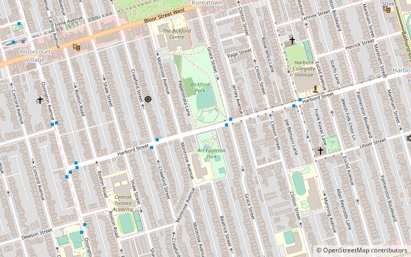
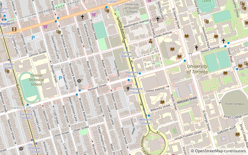
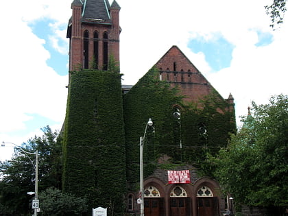
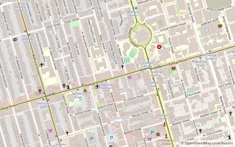
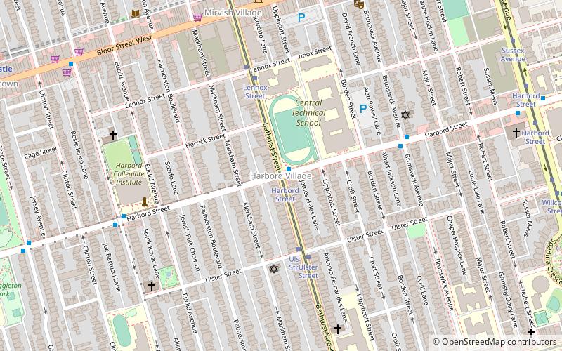
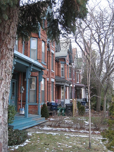
Harbord Village is a neighbourhood in Toronto, Ontario, Canada. It lies just to the west of the University of Toronto, with its most commonly accepted borders being Bloor Street on the north, Spadina Avenue on the east, College Street to the south, and Bathurst Street to the west. Areas west of Bathurst, as far as Ossington are also sometimes included, though they are not covered by the residents' association. The area was previously known as Sussex-Ulster, after two of the major east west streets in the area. In 2000 the residents' association decided to rename itself and the area Harbord Village, after the main street running through the middle of the community. The street's name origin is unclear but could be named for abolitionist Edward Harbord, 3rd Baron Suffield. ()
West End (Harbord Village)Toronto
Harbord Village – popular in the area (distance from the attraction)
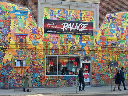
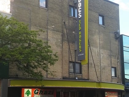
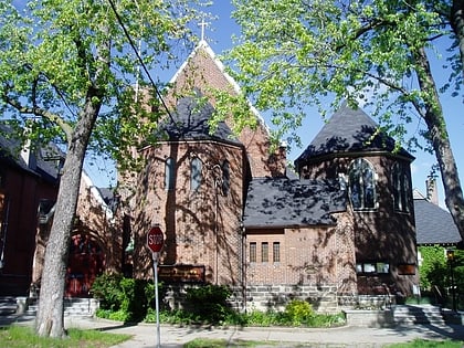
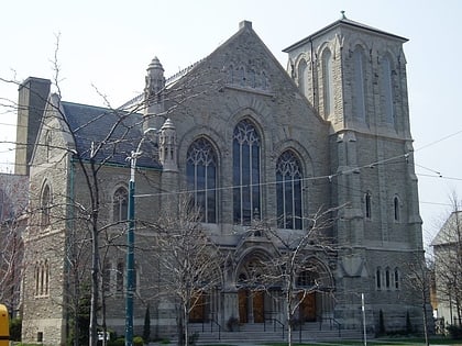
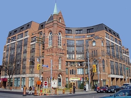
Nearby attractions include: Lee's Palace, Little Italy, Bloor Cinema, St. Thomas's Anglican Church.
Frequently Asked Questions (FAQ)
Which popular attractions are close to Harbord Village?
How to get to Harbord Village by public transport?
Tram
- Harbord Street • Lines: 511 (1 min walk)
- Ulster Street • Lines: 511 (4 min walk)
Bus
- Bathurst Street • Lines: 94A (1 min walk)
- Brunswick Avenue • Lines: 94A (5 min walk)
Metro
- Bathurst • Lines: 2 (8 min walk)
- Christie • Lines: 2 (12 min walk)

 Subway
 Streetcar system
 PATH
PATH