Roblin Park, Winnipeg
Map
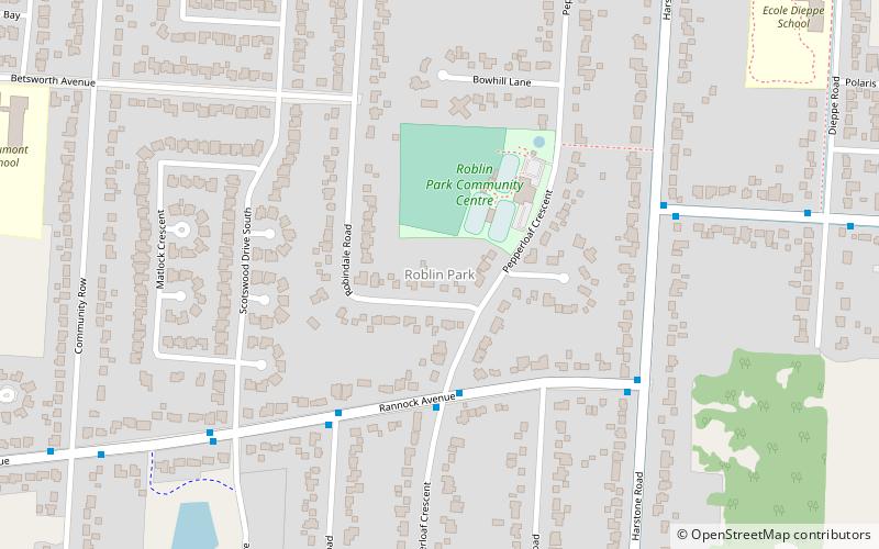
Map

Facts and practical information
Roblin Park is one of the original neighbourhoods of the Charleswood community in Winnipeg, Manitoba, Canada. It is served by the Roblin Park Community Centre. ()
Coordinates: 49°51'9"N, 97°17'26"W
Address
Assiniboine South (Roblin Park)Winnipeg
ContactAdd
Social media
Add
Day trips
Roblin Park – popular in the area (distance from the attraction)
Nearby attractions include: Air Force Heritage Museum and Air Park, Outlet Collection Winnipeg, Bruce Park, Assiniboine Park Zoo.
Frequently Asked Questions (FAQ)
How to get to Roblin Park by public transport?
The nearest stations to Roblin Park:
Bus
Bus
- Westbound Rannock at Pepperloaf • Lines: 98 (3 min walk)
- Eastbound Rannock at Vanscoy • Lines: 98 (5 min walk)

