Newtonbrook, Toronto
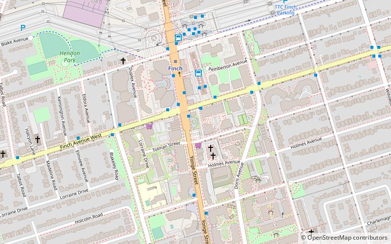
Map

Gallery

Facts and practical information
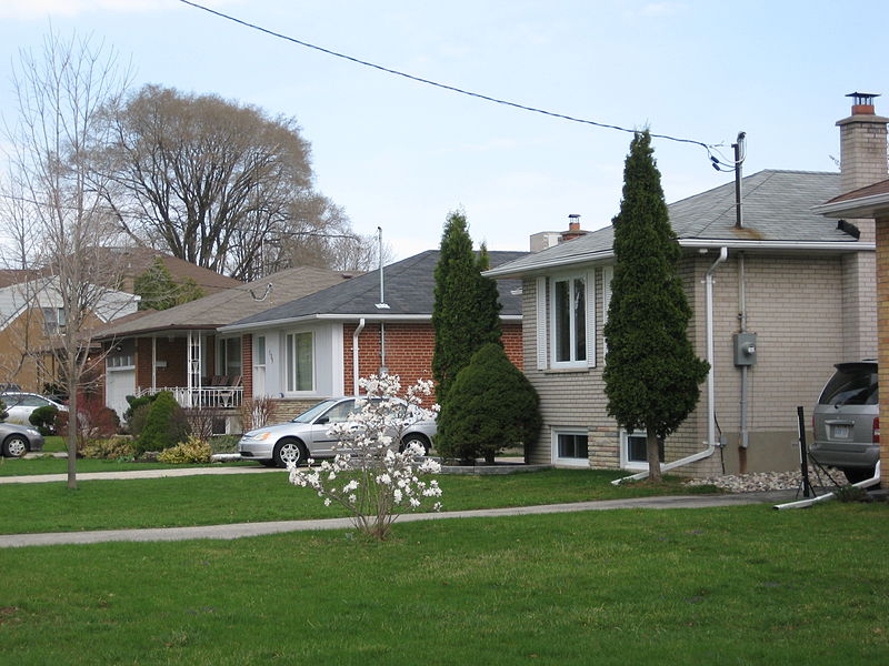
Newtonbrook is a neighbourhood in Toronto, Ontario, Canada. It is located in the area around Yonge Street and Finch Avenue in the district of North York between the east and west branches of the Don River. Officially, the area is divided into two neighbourhoods; Newtonbrook West and Newtonbrook East. ()
Coordinates: 43°46'60"N, 79°24'60"W
Address
North York (Newtonbrook)Toronto
ContactAdd
Social media
Add
Day trips
Newtonbrook – popular in the area (distance from the attraction)
Nearby attractions include: Centerpoint Mall, Olive Square Park, Beth Tikvah Synagogue, Meridian Arts Centre.
Frequently Asked Questions (FAQ)
Which popular attractions are close to Newtonbrook?
Nearby attractions include North York, Toronto (7 min walk), Olive Square Park, Toronto (8 min walk), Willowdale, Toronto (18 min walk), North York City Centre, Toronto (23 min walk).
How to get to Newtonbrook by public transport?
The nearest stations to Newtonbrook:
Bus
Metro
Bus
- 5800 Yonge Street • Lines: 53A, 53B, 60A, 60B, 60D (2 min walk)
- Finch GO Bus Terminal Platform 12 • Lines: 2 (2 min walk)
Metro
- Finch • Lines: 1 (4 min walk)
- North York Centre • Lines: 1 (27 min walk)

 Subway
 Streetcar system
 PATH
PATH


