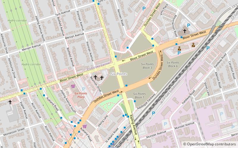
Six Points, Toronto

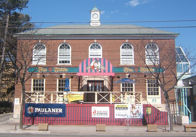
Gallery (3)
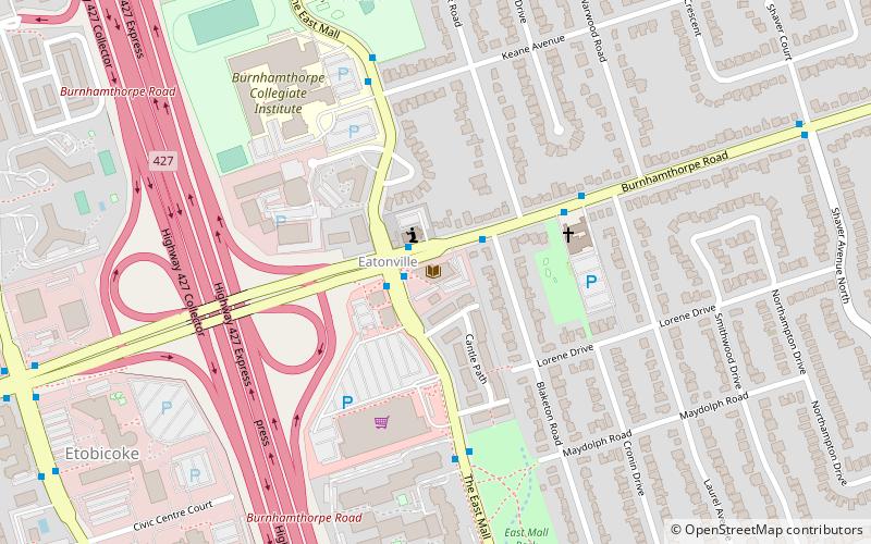
Map
Map
Gallery
Facts and practical information
Islington-City Centre West is a commercial and residential neighbourhood in Etobicoke, Toronto, Ontario, Canada. One of four central business districts outside Downtown Toronto, it is bounded by Rathburn Road to the north, Islington Avenue to the east, Bloor Street to the south, Mimico Creek to the west. ()
Coordinates: 43°38'29"N, 79°32'6"W
Address
Central Etobicoke (Islington-City Centre West)Toronto
ContactAdd
Social media
Add
Getting there by public transportation
Public transportation stops near this location
- Metro
- Bus
- Train
 Metro
Metro
- Calculate routeNorthbound on Kipling Ave at Bloor St West North Side 3 min walk
- Calculate routeAukland Road 7 min walk
- Calculate routeKipling Station 7 min walk
- Calculate routeResurrection Road 7 min walk
- Calculate routeKipling 8 min walk
- Calculate routeIslington 15 min walk
- Calculate routeKipling 11 min walk
Maps SubwayMaps
 Streetcar systemMaps
 PATH
PATH
SubwayMapsStreetcar systemMapsPATHDay trips


Frequently Asked Questions (FAQ)
How to get to Six Points by public transport?
The nearest stations to Six Points:
Bus
Metro
Train
Bus
- Northbound on Kipling Ave at Bloor St West North Side • Lines: 45A (3 min walk)
- Aukland Road • Lines: 1, 900 (7 min walk)
Metro
- Kipling • Lines: 2 (8 min walk)
- Islington • Lines: 2 (15 min walk)
Train
- Kipling (11 min walk)