Port Kells, Surrey
Map
Facts and practical information
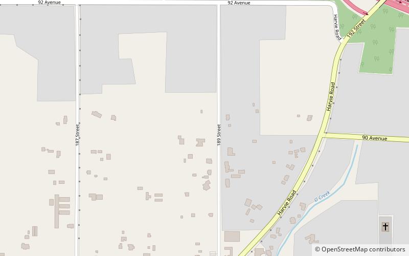
Port Kells is a neighbourhood of Guildford, a town centre in Surrey, British Columbia. The neighbourhood is located in the northeastern sector of Guildford, and is adjacent to the Fraser River and west of Walnut Grove, Langley. It has two major components: a large rural southern portion located south of Highway 1, and a section north of the highway that consists mostly of industrial parks. ()
Coordinates: 49°10'0"N, 122°41'60"W
Address
Guildford (Anniedale-Tynehead)Surrey
ContactAdd
Social media
Add
Getting there by public transportation
Public transportation stops near this location
- Bus
 Bus
Bus
- Calculate route96 Ave at 188 St 19 min walk
Day trips


Frequently Asked Questions (FAQ)
How to get to Port Kells by public transport?
The nearest stations to Port Kells:
Bus
Bus
- 96 Ave at 188 St • Lines: 388, 501 (19 min walk)