Victoria–Fraserview, Vancouver
Map
Facts and practical information
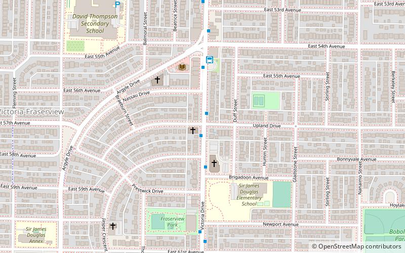
Victoria–Fraserview is a neighbourhood in the City of Vancouver, set on the south slope of the rise that runs north from the Fraser River and encompassing a large area of residential and commercial development. Surrounding the culturally eclectic Victoria Drive corridor, Victoria–Fraserview is an ethnically diverse area that was one of the earliest areas of settlement in the region. ()
Coordinates: 49°13'5"N, 123°3'58"W
Address
Victoria-FraserviewVancouver
ContactAdd
Social media
Add
Getting there by public transportation
Public transportation stops near this location
- Bus
- Trolleybus
 Bus
Bus
- Calculate routeVictoria Dr at Upland Dr 1 min walk
- Calculate route54th Avenue Loop 4 min walk
- Calculate routeMuirfield Dr at Ashburn St 13 min walk
- Calculate routeEast 49th Avenue at Victoria Drive 13 min walk
Maps SkyTrain
SkyTrainDay trips


Frequently Asked Questions (FAQ)
How to get to Victoria–Fraserview by public transport?
The nearest stations to Victoria–Fraserview:
Trolleybus
Bus
Trolleybus
- Victoria Dr at Upland Dr • Lines: 20 (1 min walk)
Bus
- 54th Avenue Loop (4 min walk)
- Muirfield Dr at Ashburn St • Lines: 29 (13 min walk)