Scarborough Junction, Toronto
Map
Gallery
Facts and practical information
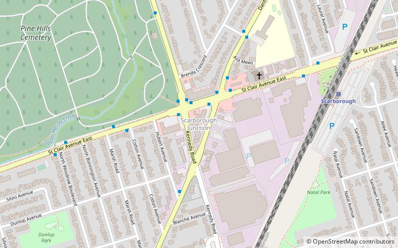
Scarborough Junction is a small neighbourhood in the Scarborough district of Toronto, Ontario, Canada. It is bordered by Birchmount Road, Brimley Road, Eglinton Avenue, and St. Clair Avenue. Scarbrough Junction has an approximated population of 20,000. The population consists of 1/4 Caucasian, 2/4 Asian and 1/4 other ()
Coordinates: 43°42'58"N, 79°15'39"W
Address
Scarborough (Birchmount Park)Toronto
ContactAdd
Social media
Add
Day trips
Scarborough Junction – popular in the area (distance from the attraction)
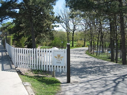
Nearby attractions include: Toronto Hunt Club, Dentonia Park Golf Club, Shoppers World Danforth, Eglinton Square Shopping Centre.
Frequently Asked Questions (FAQ)
How to get to Scarborough Junction by public transport?
The nearest stations to Scarborough Junction:
Bus
Train
Metro
Light rail
Bus
- St. Clair Avenue at Kennedy Road • Lines: 16 (2 min walk)
- Danforth Road at St. Clair Avenue North Side • Lines: 16 (3 min walk)
Train
- Scarborough (8 min walk)
- Kennedy (30 min walk)
Metro
- Warden • Lines: 2 (25 min walk)
- Kennedy • Lines: 2 (30 min walk)
Light rail
- Kennedy • Lines: 3 (30 min walk)

 Subway
 Streetcar system
 PATH
PATH