Salaheddin Islamic Centre, Toronto
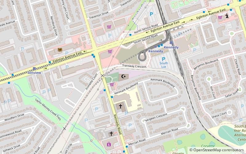
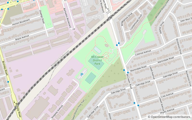
Map
Facts and practical information
The Salaheddin Islamic Centre is a mosque located in the Scarborough district of the city of Toronto, Ontario, Canada noted for its outspoken Imam Aly Hindy. ()
Coordinates: 43°43'51"N, 79°15'58"W
Address
741 Kennedy RoadScarborough (Scarborough Junction)Toronto
ContactAdd
Social media
Add
Day trips
Salaheddin Islamic Centre – popular in the area (distance from the attraction)
Nearby attractions include: Dentonia Park Golf Club, Cedarbrae Mall, Eglinton Square Shopping Centre, Birchmount Stadium.
Frequently Asked Questions (FAQ)
How to get to Salaheddin Islamic Centre by public transport?
The nearest stations to Salaheddin Islamic Centre:
Light rail
Metro
Bus
Train
Light rail
- Kennedy • Lines: 3 (5 min walk)
Metro
- Kennedy • Lines: 2 (5 min walk)
Bus
- Kennedy Station • Lines: 113, 116, 116A, 116B, 198, 20, 86A, 86B, 86C, 86D, 86E (5 min walk)
- Midland • Lines: 198 (12 min walk)
Train
- Kennedy (6 min walk)
- Scarborough (29 min walk)
 Subway
 Streetcar system
 PATH
PATH