Hunt Club Park, Ottawa

Facts and practical information
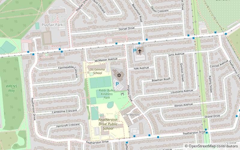
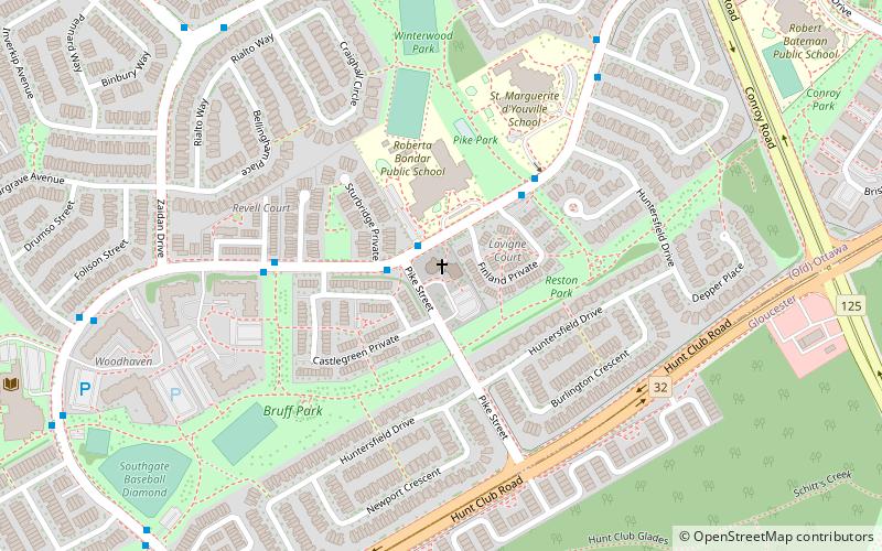
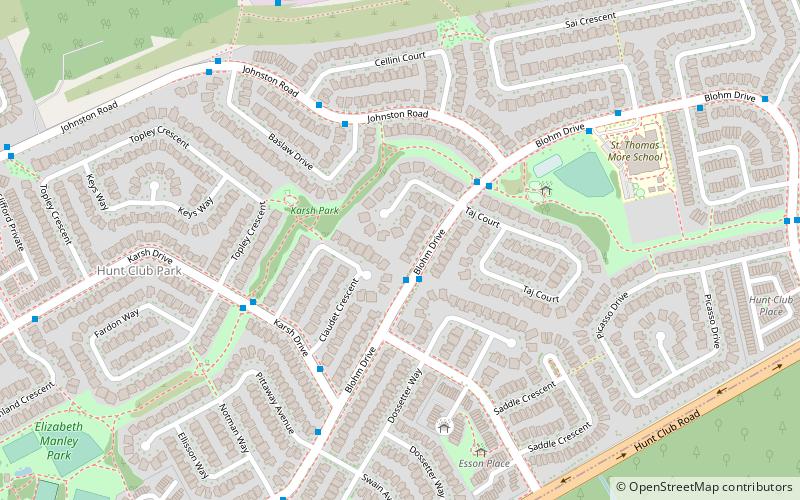
Hunt Club Park is a residential neighbourhood in Gloucester-Southgate Ward in the south end of Ottawa, Ontario, Canada. The Ottawa Neighbourhood Study defines the boundaries of the neighbourhood as being Johnston Road-Blohm Drive and Hunterswood Crescent on the north, Hunt Club Road on the south, Hawthorne Road on the east and Conroy Road on the west. The neighbourhood generally corresponds to Census Tracts 5050001.08 and 5050001.07 which had a combined population of 8,825 as of the Canada 2016 Census. The Census also showed 5 people living east of Hawthorne Road, an area generally not considered part of the neighbourhood, but part of the former census tract. ()
Hunt Club Park – popular in the area (distance from the attraction)
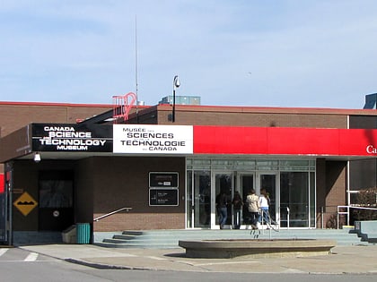
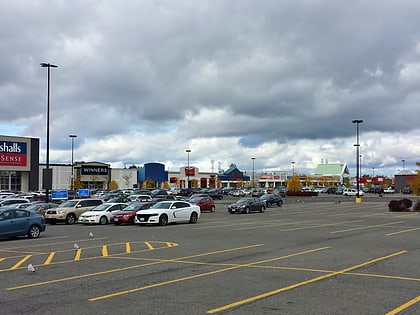
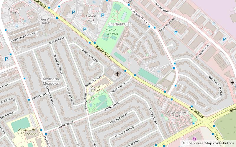
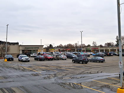
Nearby attractions include: Canada Science and Technology Museum, South Keys Shopping Centre, Hawthorne United Church, Herongate Square.
Frequently Asked Questions (FAQ)
How to get to Hunt Club Park by public transport?
Bus
- Blohm / AD. 1579 • Lines: 40, 98 (1 min walk)

