Wellington Village, Ottawa
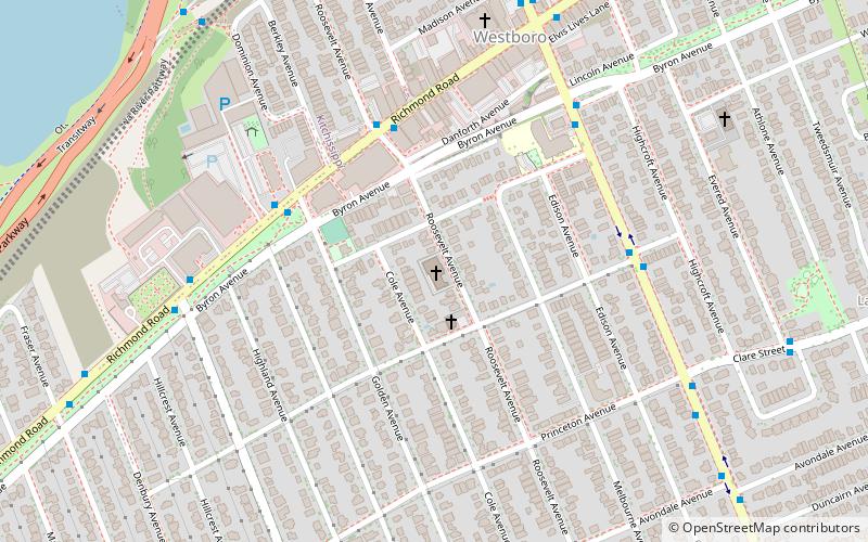
Map
Facts and practical information
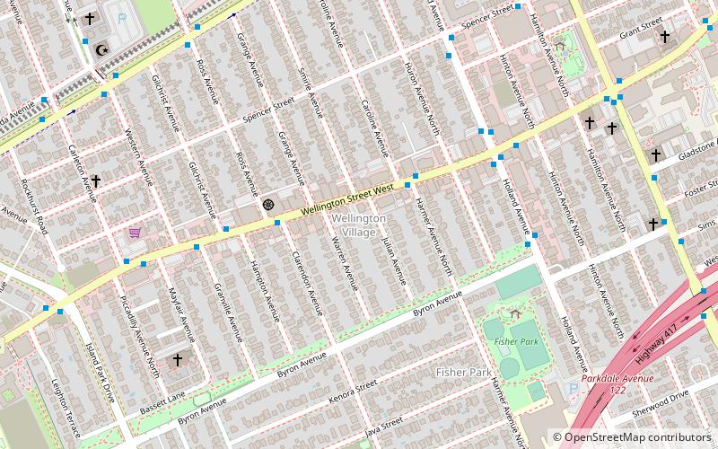
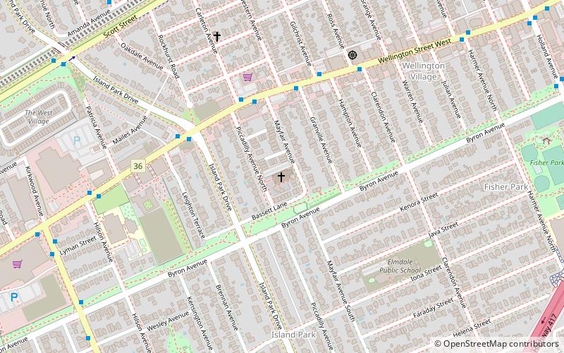
Wellington Village is a neighbourhood in Kitchissippi Ward in the west end of Ottawa, Ontario, Canada. It is bounded on the north by Scott Street, on the west by Island Park Drive, on the south by The Queensway and on the east by Holland Avenue. The neighbourhood is covered by the Wellington Village Community Association, with the exception of Island Park Drive, which is covered by the Island Park Community Association. The neighbourhood was originally named Elmdale for the number of elm trees in the area, and was founded in 1922. The homes were built between the 1920s and 1940s. ()
Coordinates: 45°23'55"N, 75°44'7"W
Address
HintonburgOttawa
ContactAdd
Social media
Add
Getting there by public transportation
Public transportation stops near this location
- Bus
- Light rail
 Bus
Bus
- Calculate routeWellington / Harmer 2 min walk
- Calculate routeTunney's Pasture O-Train East/Est 10 min walk
- Calculate routeBayview O-Train West/Ouest 25 min walk
Day trips


Frequently Asked Questions (FAQ)
Which popular attractions are close to Wellington Village?
Nearby attractions include Cube Gallery, Ottawa (2 min walk), St. George's Parish, Ottawa (7 min walk), Hampton Park, Ottawa (14 min walk), Tunney's Pasture, Ottawa (14 min walk).
How to get to Wellington Village by public transport?
The nearest stations to Wellington Village:
Bus
Light rail
Bus
- Wellington / Harmer • Lines: 11, 153, 51 (2 min walk)
Light rail
- Tunney's Pasture O-Train East/Est • Lines: 1 (10 min walk)
- Bayview O-Train West/Ouest • Lines: 1 (25 min walk)