Eagle Creek, Burnaby
Map
Facts and practical information
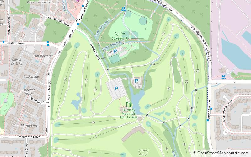
Eagle Creek is one of the most important creeks in Burnaby, British Columbia, Canada. It begins on Burnaby Mountain where it is fed by a large watershed, runs through Montecito and the nearby Squint Lake, and eventually flows into Burnaby Lake. ()
Elevation: 276 ft a.s.l.Coordinates: 49°15'59"N, 122°56'34"W
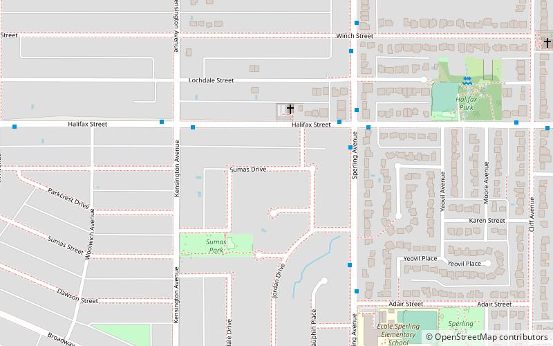
Address
Sperling-BroadwayBurnaby
ContactAdd
Social media
Add
Getting there by public transportation
Public transportation stops near this location
- Metro
- Bus
 Metro
Metro
- Calculate routeBurnwood Dr at Woodbrook Pl 6 min walk
- Calculate routeGreystone Dr at Pinehurst Dr 7 min walk
- Calculate routeHalifax St at Phillips Ave 7 min walk
- Calculate routeLake City Way 22 min walk
- Calculate routeSperling–Burnaby Lake 28 min walk
- Calculate routeProduction Way-University 37 min walk
Day trips


Frequently Asked Questions (FAQ)
Which popular attractions are close to Eagle Creek?
Nearby attractions include Squint Lake, Burnaby (2 min walk), Montecito, Burnaby (12 min walk).
How to get to Eagle Creek by public transport?
The nearest stations to Eagle Creek:
Bus
Metro
Bus
- Burnwood Dr at Woodbrook Pl • Lines: 136 (6 min walk)
- Greystone Dr at Pinehurst Dr • Lines: 136 (7 min walk)
Metro
- Lake City Way • Lines: Millennium Line (22 min walk)
- Sperling–Burnaby Lake • Lines: Millennium Line (28 min walk)