Britannia, Ottawa
Map
Gallery
Facts and practical information
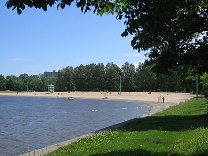
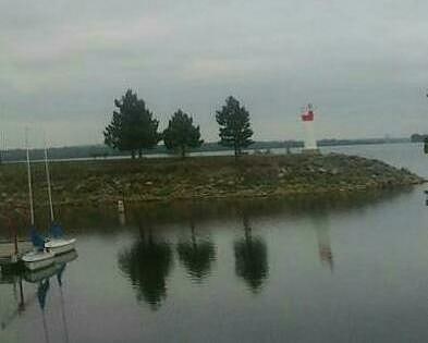
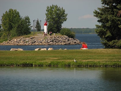
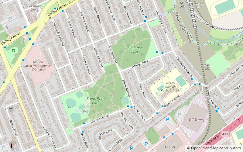
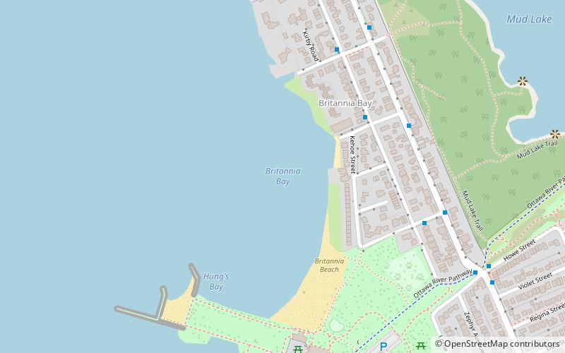
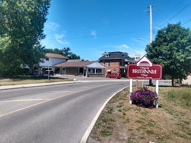
Britannia is a group of neighbourhoods in Bay Ward in the west end of Ottawa, Ontario, Canada. It is located on the Ottawa River across from Aylmer, Quebec, adjacent to its namesake, Britannia Bay, north of Richmond Road, west of the Sir John A. Macdonald Parkway and east of Boyce Avenue. The total population of this area was 6,692 as of the 2016 census. The area constituted a municipal ward from 1973 to 1994. ()
Coordinates: 45°22'4"N, 75°48'9"W
Address
Ottawa
ContactAdd
Social media
Add
Day trips
Britannia – popular in the area (distance from the attraction)
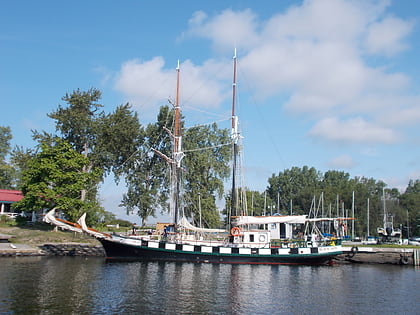
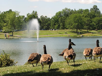
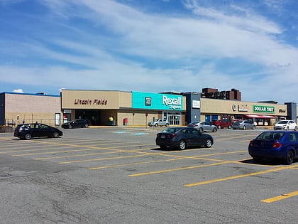
Nearby attractions include: Britannia Yacht Club, Andrew Haydon Park, Lincoln Fields Mall, Nepean Sailing Club.
Frequently Asked Questions (FAQ)
Which popular attractions are close to Britannia?
Nearby attractions include Britannia Yacht Club, Ottawa (10 min walk), Belltown, Ottawa (13 min walk), Britannia Heights, Ottawa (18 min walk).
How to get to Britannia by public transport?
The nearest stations to Britannia:
Bus
Bus
- Bradford / Jamieson • Lines: 51 (4 min walk)
- Britannia / Jamieson • Lines: 51 (6 min walk)
