Haig, St. Catharines

Map
Facts and practical information
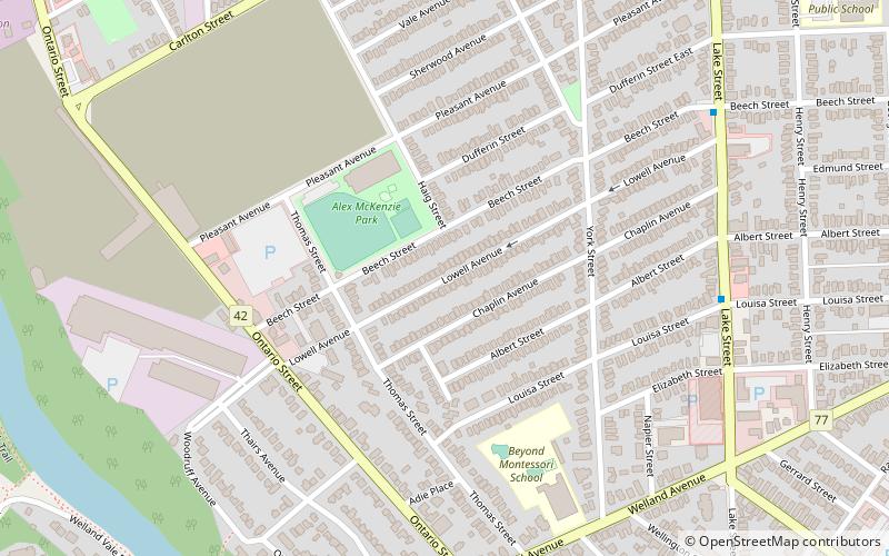
Haig is a community in the city of St. Catharines, Ontario, Canada. Its borders are Regional Road 83 to the north, Regional Road 77 to the south, Lake Street to the east, and the Twelve Mile Creek to the west. ()
Coordinates: 43°9'53"N, 79°15'22"W
Address
The HaigSt. Catharines
ContactAdd
Social media
Add
Day trips
Haig – popular in the area (distance from the attraction)
Nearby attractions include: Meridian Centre, Gatorade Garden City Complex, Fairview Mall, Montebello Park.
Frequently Asked Questions (FAQ)
Which popular attractions are close to Haig?
Nearby attractions include Montebello Park, St. Catharines (13 min walk), Downtown St. Catharines, St. Catharines (17 min walk), Martindale Heights, St. Catharines (17 min walk), British Methodist Episcopal Church, St. Catharines (21 min walk).
How to get to Haig by public transport?
The nearest stations to Haig:
Bus
Train
Bus
- St. Catharines (18 min walk)
- Fairview Mall (28 min walk)
Train
- St. Catharines (30 min walk)


