Martindale Heights, St. Catharines
Map
Facts and practical information
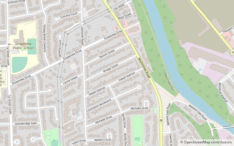
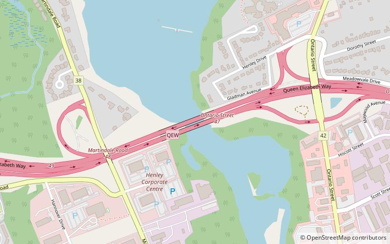
Martindale Heights is a community in the city of St. Catharines, Ontario, Canada. It is located in the west end, concentrated in and around Martindale Road. The Martindale area is bounded to the south by Niagara Regional Road 77, to the east by the Twelve Mile Creek, to the west by the Highway 406 and to the north by Niagara Regional Road 87. ()
Coordinates: 43°9'47"N, 79°16'7"W
Address
MartindaleSt. Catharines
ContactAdd
Social media
Add
Getting there by public transportation
Public transportation stops near this location
- Bus
- Train
 Bus
Bus
- Calculate routeSt. Catharines 31 min walk
- Calculate routeFairview Mall 41 min walk
- Calculate routeSt. Catharines Fairview Mall 41 min walk
Day trips


Frequently Asked Questions (FAQ)
Which popular attractions are close to Martindale Heights?
Nearby attractions include Haig, St. Catharines (17 min walk), Montebello Park, St. Catharines (24 min walk).
How to get to Martindale Heights by public transport?
The nearest stations to Martindale Heights:
Train
Bus
Train
- St. Catharines (31 min walk)
Bus
- Fairview Mall (41 min walk)
- St. Catharines Fairview Mall • Lines: 12 (41 min walk)