Hagerman's Corners, Markham

Map
Facts and practical information
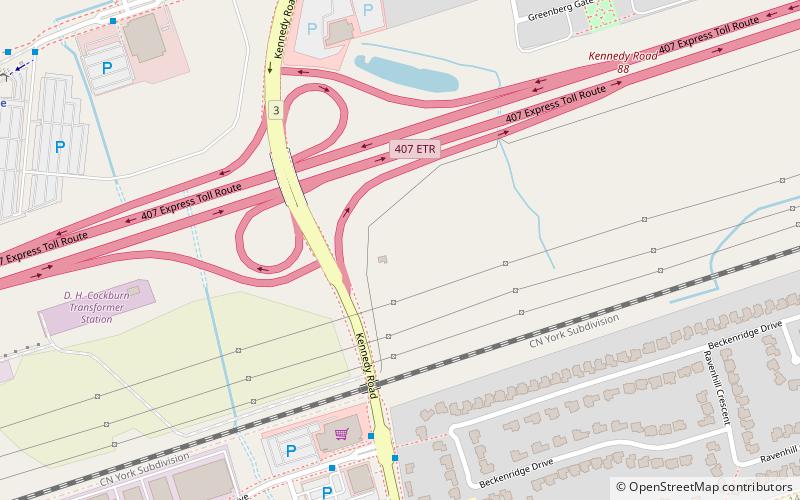
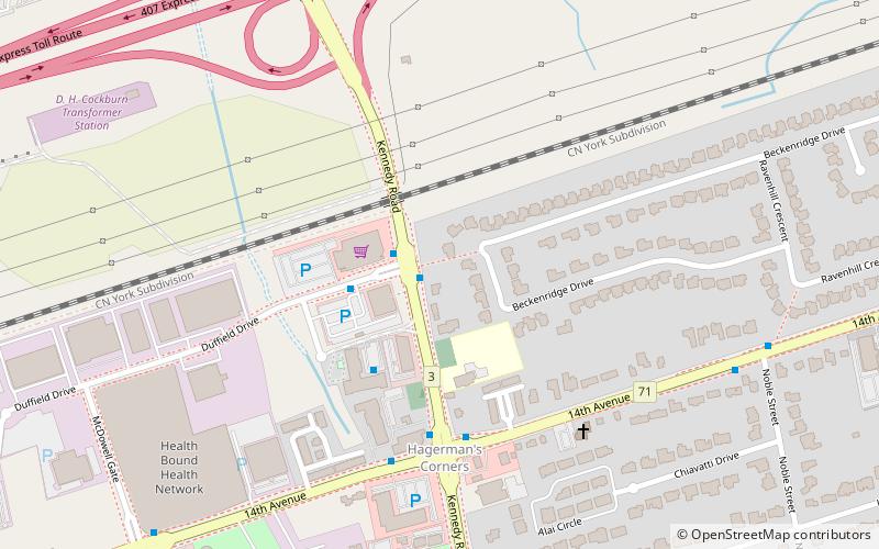
Hagerman's Corners is a dispersed rural community in Markham, Ontario, Canada. Located at 14th Avenue and Kennedy Road, the former farm lands have disappeared and given way to homes and commercial parks. It is geographically located between the communities of Milliken Mills and Unionville, within the city of Markham. ()
Coordinates: 43°50'57"N, 79°18'19"W
Address
Milliken Mills EastMarkham
ContactAdd
Social media
Add
Day trips
Hagerman's Corners – popular in the area (distance from the attraction)
Nearby attractions include: Unionville, Crystal Fountain Event Venue, Langham Square, Markham—Unionville.
Frequently Asked Questions (FAQ)
Which popular attractions are close to Hagerman's Corners?
Nearby attractions include Markham—Unionville, Markham (6 min walk), Crystal Fountain Event Venue, Markham (14 min walk), Downtown Markham, Markham (19 min walk).
How to get to Hagerman's Corners by public transport?
The nearest stations to Hagerman's Corners:
Bus
Train
Bus
- Kennedy Road / Duffield Drive • Lines: 522, 8 (6 min walk)
- Duffield Drive / Kennedy Road • Lines: 522 (7 min walk)
Train
- Unionville (13 min walk)


