Lindenlea, Ottawa
Map

Map

Facts and practical information
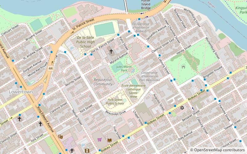
Lindenlea is a neighbourhood in Rideau-Rockcliffe Ward in Ottawa, Ontario, Canada, northeast of Downtown. It is bordered by Maple Lane to the north, Acacia Avenue to the east, Beechwood Avenue to the south and Springfield Road to the west. ()
Coordinates: 45°26'35"N, 75°40'28"W
Address
LindenleaOttawa
ContactAdd
Social media
Add
Day trips
Lindenlea – popular in the area (distance from the attraction)
Nearby attractions include: Rideau Hall, Rideau Centre, Ogilvy's, Sand Pits Lake.
Frequently Asked Questions (FAQ)
Which popular attractions are close to Lindenlea?
Nearby attractions include Rideau Cottage, Ottawa (11 min walk), MacKay United Church, Ottawa (12 min walk), Vanier, Ottawa (14 min walk), Rideau Hall, Ottawa (14 min walk).
How to get to Lindenlea by public transport?
The nearest stations to Lindenlea:
Bus
Light rail
Bus
- Beechwood / St Charles • Lines: 17, 19, 20, 6, 7 (4 min walk)
- Springfield / Rideau • Lines: 6 (4 min walk)
Light rail
- Rideau O-Train West/Ouest • Lines: 1 (37 min walk)

