Frédéric-Back Park, Montreal
Map

Map

Facts and practical information
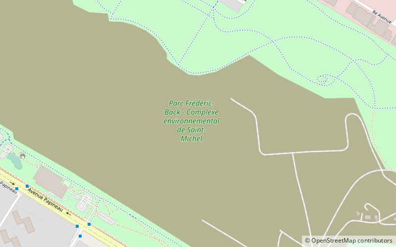
Frédéric-Back Park is an urban park in Montreal, Quebec, Canada. It is within the Saint-Michel environmental complex in the borough of Villeray–Saint-Michel–Parc-Extension. The 192-hectare area originally was a limestone quarry, then a landfill. It is in the midst of a transformation that will see the majority of it become the park. A trail of 5.5 kilometres encircles the center of the park. As of 2020, the park has a total area of 48 hectares. When the planned transformation is complete, the park will have an area of 153 hectares. ()
Elevation: 125 ft a.s.l.Coordinates: 45°33'46"N, 73°37'43"W
Day trips
Frédéric-Back Park – popular in the area (distance from the attraction)
Nearby attractions include: Sault-au-Récollet, Villeray, Christophe Colomb Avenue, Buffet Marina.
Frequently Asked Questions (FAQ)
How to get to Frédéric-Back Park by public transport?
The nearest stations to Frédéric-Back Park:
Bus
Metro
Bus
- Papineau / Émile-Journault • Lines: 45-N, 45-S, 54-O (9 min walk)
- Émile-Journault / Papineau • Lines: 54-E (9 min walk)
Metro
- Crémazie • Lines: 2 (32 min walk)
- Fabre • Lines: 5 (39 min walk)

 Metro
Metro


