University of Ottawa, Ottawa
Map
Facts and practical information
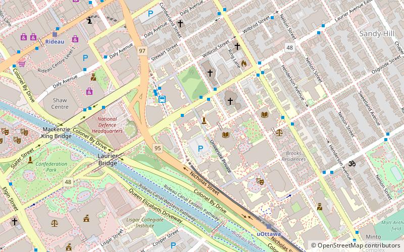
The University of Ottawa, often referred to as uOttawa or U of O, is a bilingual public research university in Ottawa, Ontario, Canada. The main campus is located on 42.5 hectares in the heart of Ottawa's Downtown Core, adjacent to the residential neighbourhood of Sandy Hill, adjacent to Ottawa's Rideau Canal. ()
Getting there by public transportation
Public transportation stops near this location
- Bus
- Light rail
 Bus
Bus
- Calculate routeLaurier E / Waller 2 min walk
- Calculate routeLaurier E / Cumberland 2 min walk
- Calculate routeLaurier 3 min walk
- Calculate routeUOttawa O-Train West/Ouest 7 min walk
- Calculate routeRideau O-Train West/Ouest 10 min walk
Day trips
University of Ottawa – popular in the area (distance from the attraction)
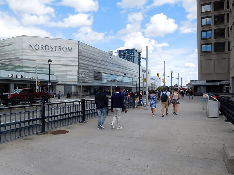
Nearby attractions include: Rideau Centre, Confederation Park, Ogilvy's, Ottawa Art Gallery.


Frequently Asked Questions (FAQ)
Which popular attractions are close to University of Ottawa?
Nearby attractions include St. Joseph, Ottawa (3 min walk), Ottawa Art Gallery, Ottawa (5 min walk), Major-General George R Pearkes Building, Ottawa (5 min walk), Corktown Footbridge, Ottawa (6 min walk).
How to get to University of Ottawa by public transport?
The nearest stations to University of Ottawa:
Bus
Light rail
Bus
- Laurier E / Waller • Lines: 16, 39, 45, 97 (2 min walk)
- Laurier E / Cumberland • Lines: 16, 19, 39, 45, 97 (2 min walk)
Light rail
- UOttawa O-Train West/Ouest • Lines: 1 (7 min walk)
- Rideau O-Train West/Ouest • Lines: 1 (10 min walk)