Crescentwood, Winnipeg
Map
Facts and practical information
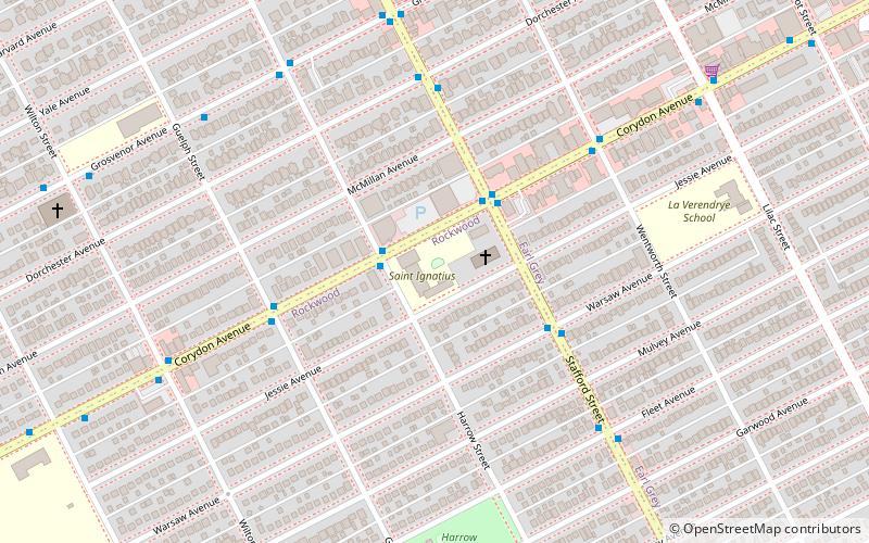
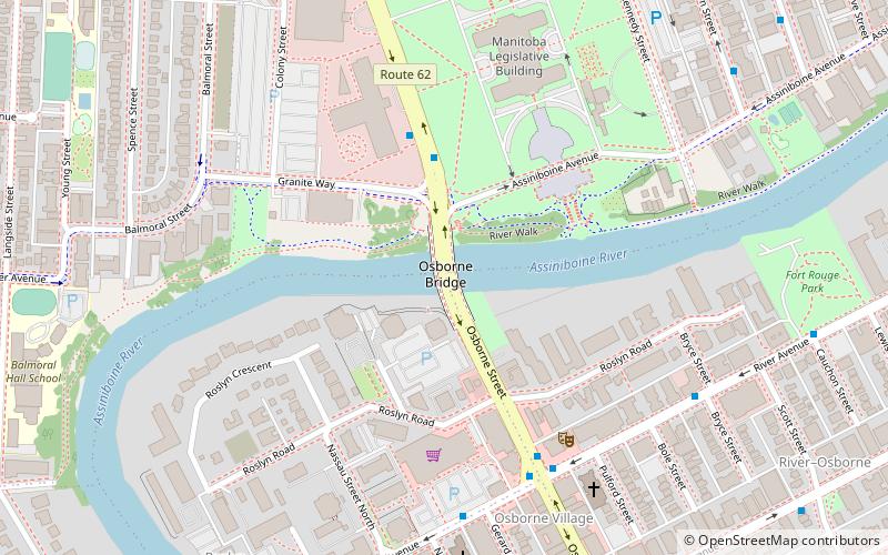
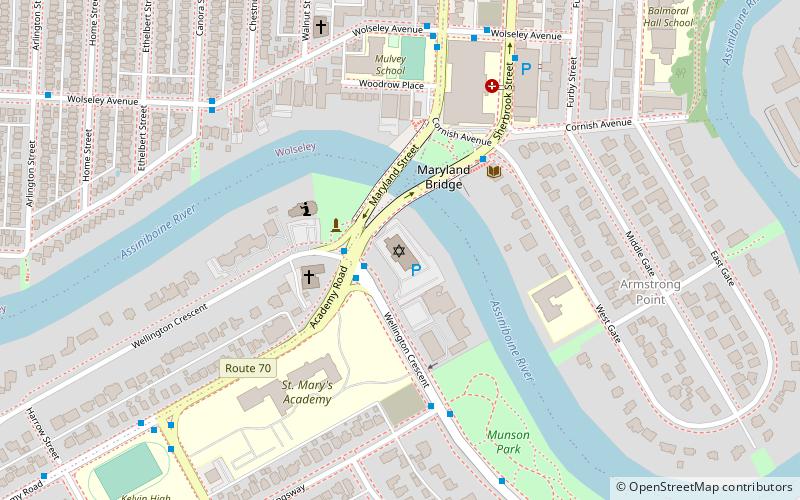
Crescentwood is a neighbourhood in the River Heights area of Winnipeg, Manitoba. It is bordered on the north on Academy Road, on the east by the Assiniboine River, on the south by Corydon Avenue, and on the west by Cambridge Street. ()
Area: 0.42 mi²Coordinates: 49°52'2"N, 97°9'45"W
Address
River Heights (Rockwood)Winnipeg
ContactAdd
Social media
Add
Getting there by public transportation
Public transportation stops near this location
- Bus
 Bus
Bus
- Calculate routeEastbound Corydon at Harrow 2 min walk
- Calculate routeWestbound Corydon at Harrow 2 min walk
- Calculate routeSouthbound Stafford at Corydon 2 min walk
Day trips


Frequently Asked Questions (FAQ)
Which popular attractions are close to Crescentwood?
Nearby attractions include St. Ignatius Church, Winnipeg (2 min walk), Winnipeg South Centre, Winnipeg (10 min walk), The Stoneware Gallery, Winnipeg (12 min walk), Shaarey Zedek Synagogue, Winnipeg (18 min walk).
How to get to Crescentwood by public transport?
The nearest stations to Crescentwood:
Bus
Bus
- Eastbound Corydon at Harrow • Lines: 18 (2 min walk)
- Westbound Corydon at Harrow • Lines: 18 (2 min walk)