Paradise Theatre, Toronto
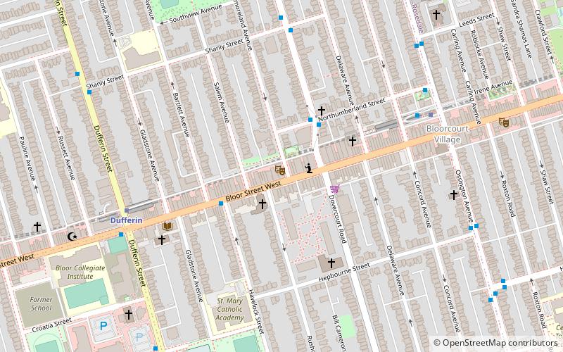
Map
Facts and practical information
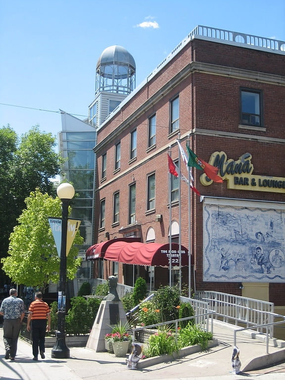
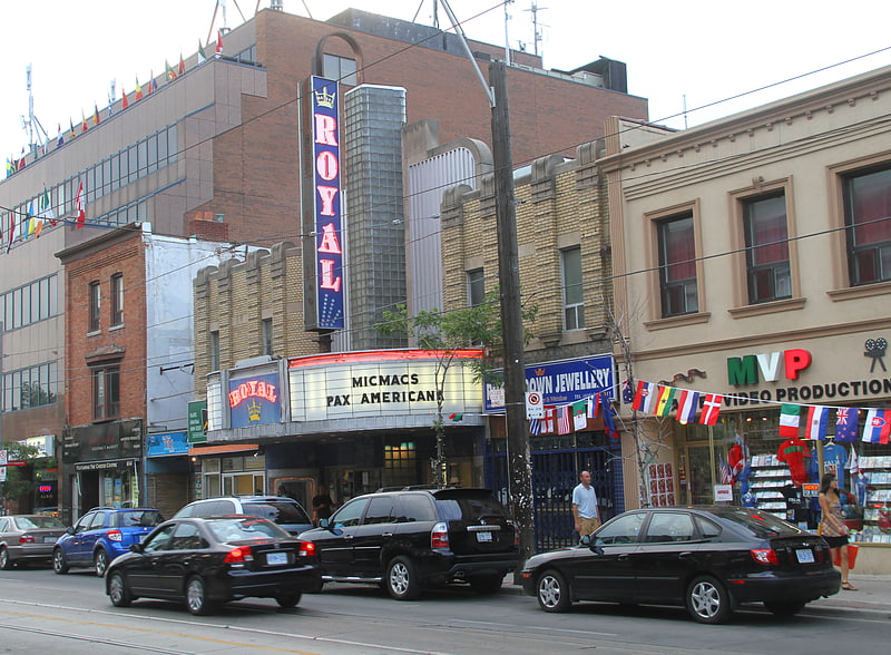
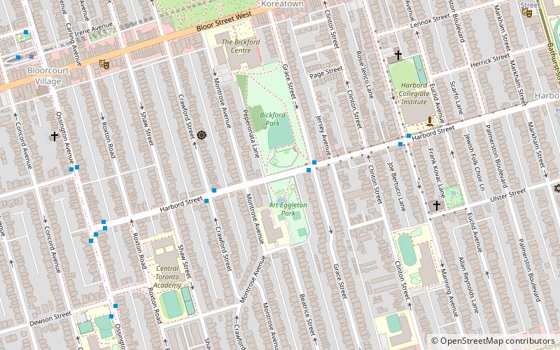
The Paradise Theatre is a movie theatre located at 1006 Bloor Street West in the Bloorcourt Village neighbourhood of Toronto, Ontario, Canada. It first opened in 1937, closed in 2006, and then was to be turned into a pharmacy. However, it was restored and re-opened on December 5, 2019. The renovations included luxury features, such as an attached restaurant, bar, and table service to the premium patrons in the balcony. ()
Coordinates: 43°39'40"N, 79°25'50"W
Address
Midtown (Dovercourt Park)Toronto
ContactAdd
Social media
Add
Getting there by public transportation
Public transportation stops near this location
- Metro
- Bus
- Tram
- Train
 Metro
Metro
- Calculate routeNorthumberland Street 3 min walk
- Calculate routeShanly Street 6 min walk
- Calculate routeOssington Station 6 min walk
- Calculate routeOssington Bus Terminal 6 min walk
- Calculate routeOssington 6 min walk
- Calculate routeDufferin 7 min walk
- Calculate routeLansdowne 16 min walk
- Calculate routeChristie 17 min walk
- Calculate routeRusholme Park 15 min walk
- Calculate routeDufferin Street 16 min walk
- Calculate routeOssington Avenue 16 min walk
- Calculate routeBloor 27 min walk
Maps SubwayMaps
 Streetcar systemMaps
 PATH
PATH
SubwayMapsStreetcar systemMapsPATHDay trips


Frequently Asked Questions (FAQ)
Which popular attractions are close to Paradise Theatre?
Nearby attractions include Saint Michael the Archangel Serbian Orthodox Church, Toronto (4 min walk), Bloor/Gladstone Library, Toronto (5 min walk), Bloorcourt Village, Toronto (7 min walk), Dufferin Grove, Toronto (8 min walk).
How to get to Paradise Theatre by public transport?
The nearest stations to Paradise Theatre:
Bus
Metro
Tram
Train
Bus
- Northumberland Street • Lines: 161 (3 min walk)
- Shanly Street • Lines: 161 (6 min walk)
Metro
- Ossington • Lines: 2 (6 min walk)
- Dufferin • Lines: 2 (7 min walk)
Tram
- Rusholme Park • Lines: 306, 506 (15 min walk)
- Dufferin Street • Lines: 306, 506 (16 min walk)
Train
- Bloor (27 min walk)