Scarborough Village, Toronto
Map

Gallery

Facts and practical information
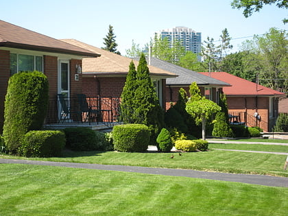
Scarborough Village is a neighbourhood in the suburb of Scarborough in Toronto, Ontario, Canada. It was one of the earliest settlements in the former township of Scarborough with the distinction of being the site of the township's first post office. Today, the neighbourhood is composed of private and public housing, apartment complexes, schools, a few condominiums, and strip mall plazas. The neighbourhood lies along the Scarborough Bluffs escarpment. ()
Coordinates: 43°44'35"N, 79°13'8"W
Address
Scarborough (Scarborough Village)Toronto
ContactAdd
Social media
Add
Day trips
Scarborough Village – popular in the area (distance from the attraction)
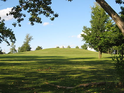
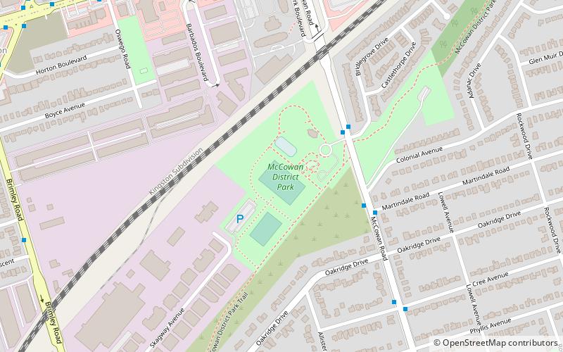
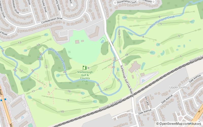
Nearby attractions include: Cedarbrae Mall, Taber Hill, Guildwood, McCowan District Park.
Frequently Asked Questions (FAQ)
How to get to Scarborough Village by public transport?
The nearest stations to Scarborough Village:
Bus
Train
Bus
- Eglinton Avenue at Markham Road • Lines: 198 (1 min walk)
- Kingston Road • Lines: 198 (9 min walk)
Train
- Eglinton (18 min walk)
- Guildwood (34 min walk)

 Subway
 Streetcar system
 PATH
PATH
