Beddington Heights, Calgary
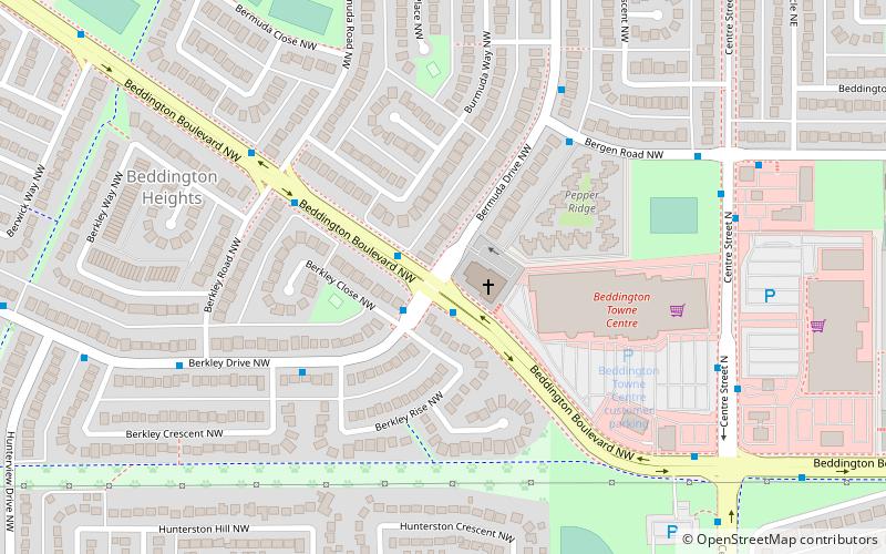
Map
Facts and practical information
Area: 3.24 mi²Coordinates: 51°7'39"N, 114°4'37"W
Day trips
Beddington Heights – popular in the area (distance from the attraction)
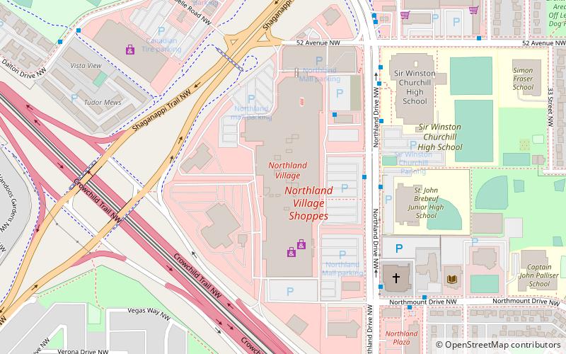
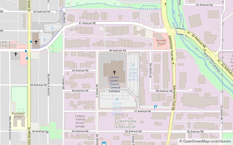
Nearby attractions include: Deerfoot City, Northland Village Mall, Centre Street Church, Nose Hill Park.
Frequently Asked Questions (FAQ)
How to get to Beddington Heights by public transport?
The nearest stations to Beddington Heights:
Bus
Bus
- SB Centre ST N @ N of Beddington BV N • Lines: 300, 301 (7 min walk)
- NB Centre ST N @ 78 AV N • Lines: 2, 300, 301, 902 (10 min walk)

