Hamptons, Calgary
Map
Facts and practical information
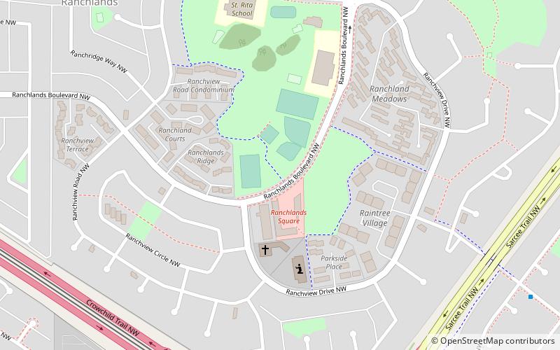
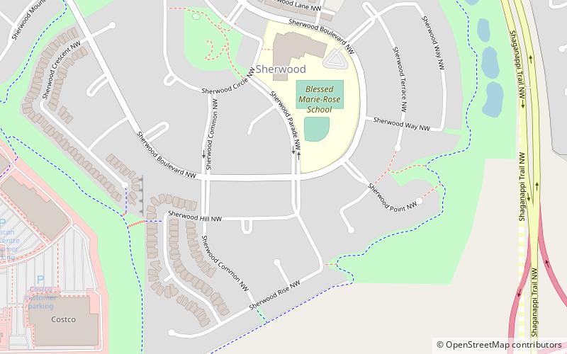
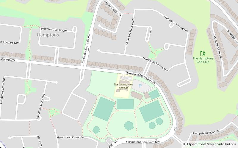
Hamptons is a residential neighbourhood in the northwest quadrant of Calgary, Alberta. It is located close to the northern edge of the city, and is bounded to the north by Stoney Trail, to the east by Shaganappi Trail, to the south by Country Hills Boulevard, and to the west by Sarcee Trail. ()
Area: 0.97 mi²Coordinates: 51°8'38"N, 114°8'56"W
Day trips
Hamptons – popular in the area (distance from the attraction)
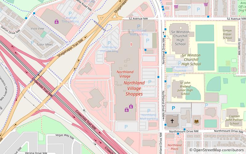
Nearby attractions include: Dale Hodges Park, Northland Village Mall, Calgary Alberta Temple, Nose Hill Park.

