Eglinton East, Toronto
Map

Gallery

Facts and practical information
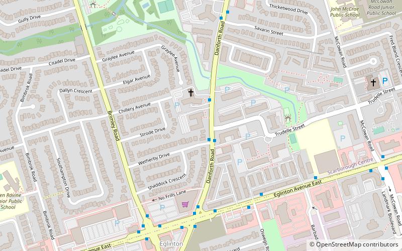
Eglinton East, historically known as Knob Hill, is a residential and commercial neighbourhood in Scarborough, Toronto, Ontario, Canada. It is bounded by Stansbury Crescent, Citadel Drive, and West Highland Creek to the north, Midland Avenue to the west, the CNR rail line, Brimley Road, and Eglinton Avenue to the south, and Bellamy Road North to the east. ()
Coordinates: 43°44'24"N, 79°14'46"W
Address
Scarborough (Eglinton East)Toronto
ContactAdd
Social media
Add
Day trips
Eglinton East – popular in the area (distance from the attraction)
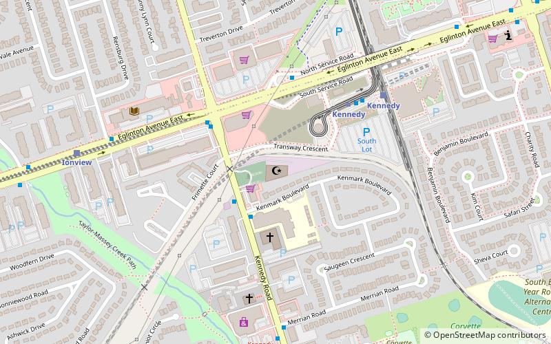
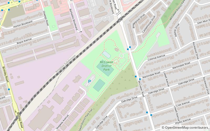
Nearby attractions include: Cedarbrae Mall, Salaheddin Islamic Centre, Thomson Memorial Park, McCowan District Park.
Frequently Asked Questions (FAQ)
How to get to Eglinton East by public transport?
The nearest stations to Eglinton East:
Bus
Train
Metro
Light rail
Bus
- Wetherby Drive • Lines: 16 (1 min walk)
- Trudelle Street • Lines: 16 (2 min walk)
Train
- Eglinton (18 min walk)
- Kennedy (25 min walk)
Metro
- Kennedy • Lines: 2 (27 min walk)
Light rail
- Kennedy • Lines: 3 (27 min walk)

 Subway
 Streetcar system
 PATH
PATH


