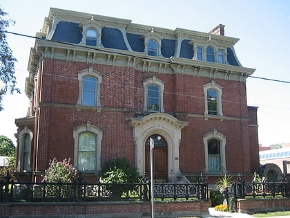
Borden Buildings, Toronto
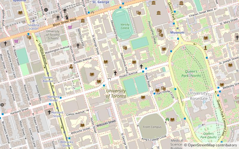
Map
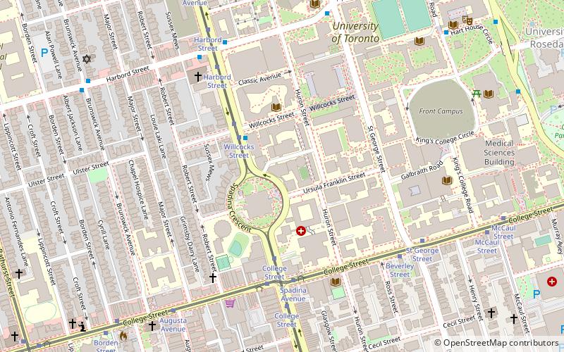
Map

Facts and practical information
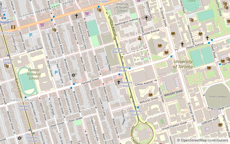
The Borden Buildings are two buildings located at 563 Spadina Crescent and 487 Spadina Crescent in Toronto, Ontario, Canada. They were once home to dairy operations and now are used by the University of Toronto. ()
Coordinates: 43°39'37"N, 79°24'0"W
Address
Downtown Toronto (University of Toronto)Toronto
ContactAdd
Social media
Add
Day trips
Borden Buildings – popular in the area (distance from the attraction)
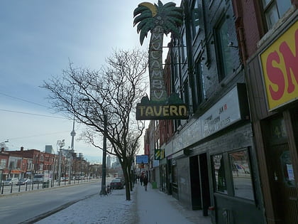
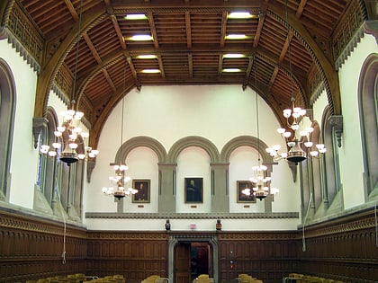
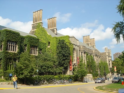
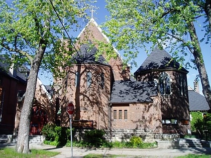
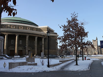
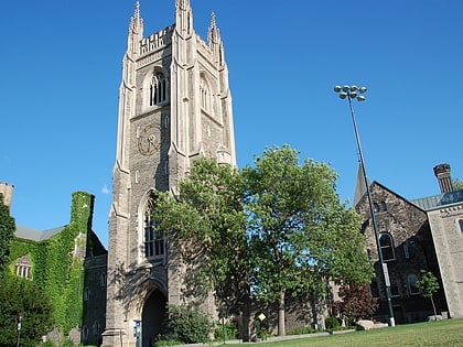
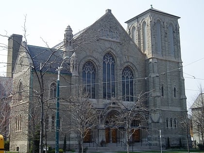
Nearby attractions include: El Mocambo, University College, Hart House, St. Thomas's Anglican Church.
Frequently Asked Questions (FAQ)
Which popular attractions are close to Borden Buildings?
Nearby attractions include 1 Spadina Crescent, Toronto (2 min walk), Ukrainian Canadian Research and Documentation Centre, Toronto (5 min walk), Koffler Student Centre, Toronto (5 min walk), Knox Presbyterian Church, Toronto (6 min walk).
How to get to Borden Buildings by public transport?
The nearest stations to Borden Buildings:
Tram
Bus
Metro
Train
Tram
- Willcocks Street • Lines: 510A, 510B, 510C (3 min walk)
- College Street • Lines: 510A, 510B, 510C (4 min walk)
Bus
- Spadina Avenue • Lines: 94A (6 min walk)
- St George Street • Lines: 94A (7 min walk)
Metro
- Queen's Park • Lines: 1 (13 min walk)
- Museum • Lines: 1 (15 min walk)
Train
- Toronto Union Station (38 min walk)

 Subway
 Streetcar system
 PATH
PATH