Cedarbrae, Calgary

Map
Facts and practical information
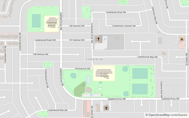
Cedarbrae is a residential neighbourhood in the southwest quadrant of Calgary, Alberta. It is bounded by Southland Drive to the north, 24 Street W to the east, Anderson Road to the south and Tsuut'ina Trail to the west. ()
Area: 0.77 mi²Coordinates: 50°57'23"N, 114°7'46"W
Day trips
Cedarbrae – popular in the area (distance from the attraction)
Nearby attractions include: Heritage Park, Trico Centre for Family Wellness, Southcentre Mall, Southland Leisure Centre.


