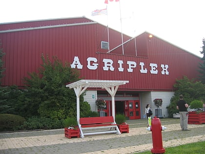
Milner, Langley
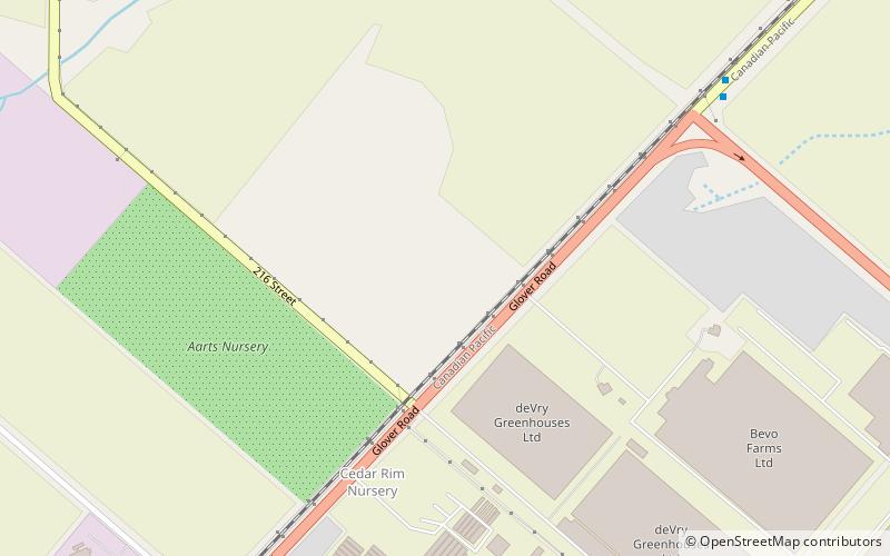
Map
Facts and practical information
Milner is a rural village and locality in the Township of Langley in the Fraser Valley of British Columbia, Canada. It is located along the British Columbia Electric Railway line (now the Southern Railway of B.C. northeast of the City of Langley and just southwest of Fort Langley. ()
Coordinates: 49°8'0"N, 122°37'0"W
Address
Langley
ContactAdd
Social media
Add
Day trips
Milner – popular in the area (distance from the attraction)
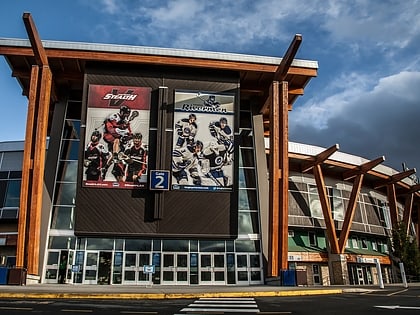
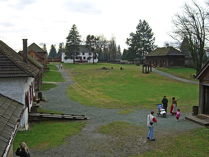
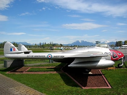
Nearby attractions include: Willowbrook Shopping Centre, Langley Events Centre, Fort Langley National Historic Site, Canadian Museum of Flight.
Frequently Asked Questions (FAQ)
Which popular attractions are close to Milner?
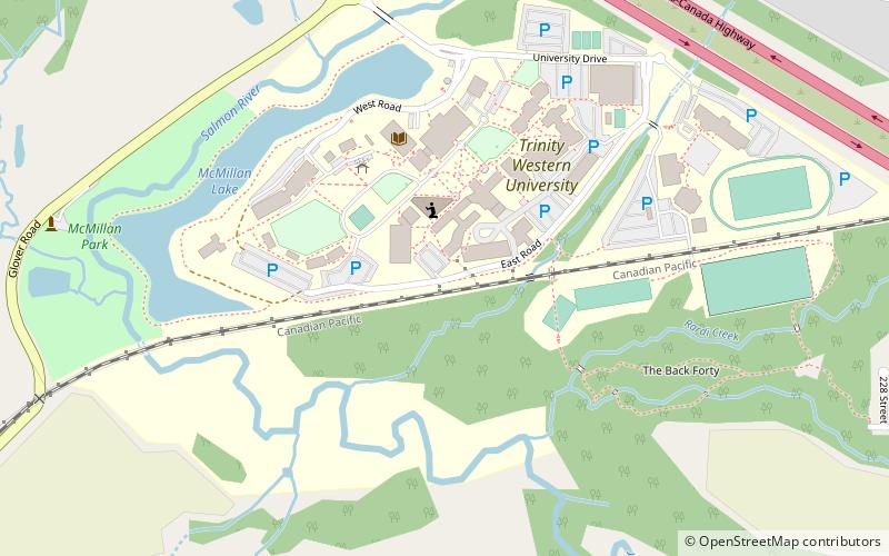
Nearby attractions include Associated Canadian Theological Schools, Langley (21 min walk), Trinity Western University, Langley (22 min walk), Catholic Pacific College, Langley (24 min walk).
How to get to Milner by public transport?
The nearest stations to Milner:
Bus
Bus
- Glover Rd at Hwy 10 Bypass • Lines: 562 (8 min walk)

